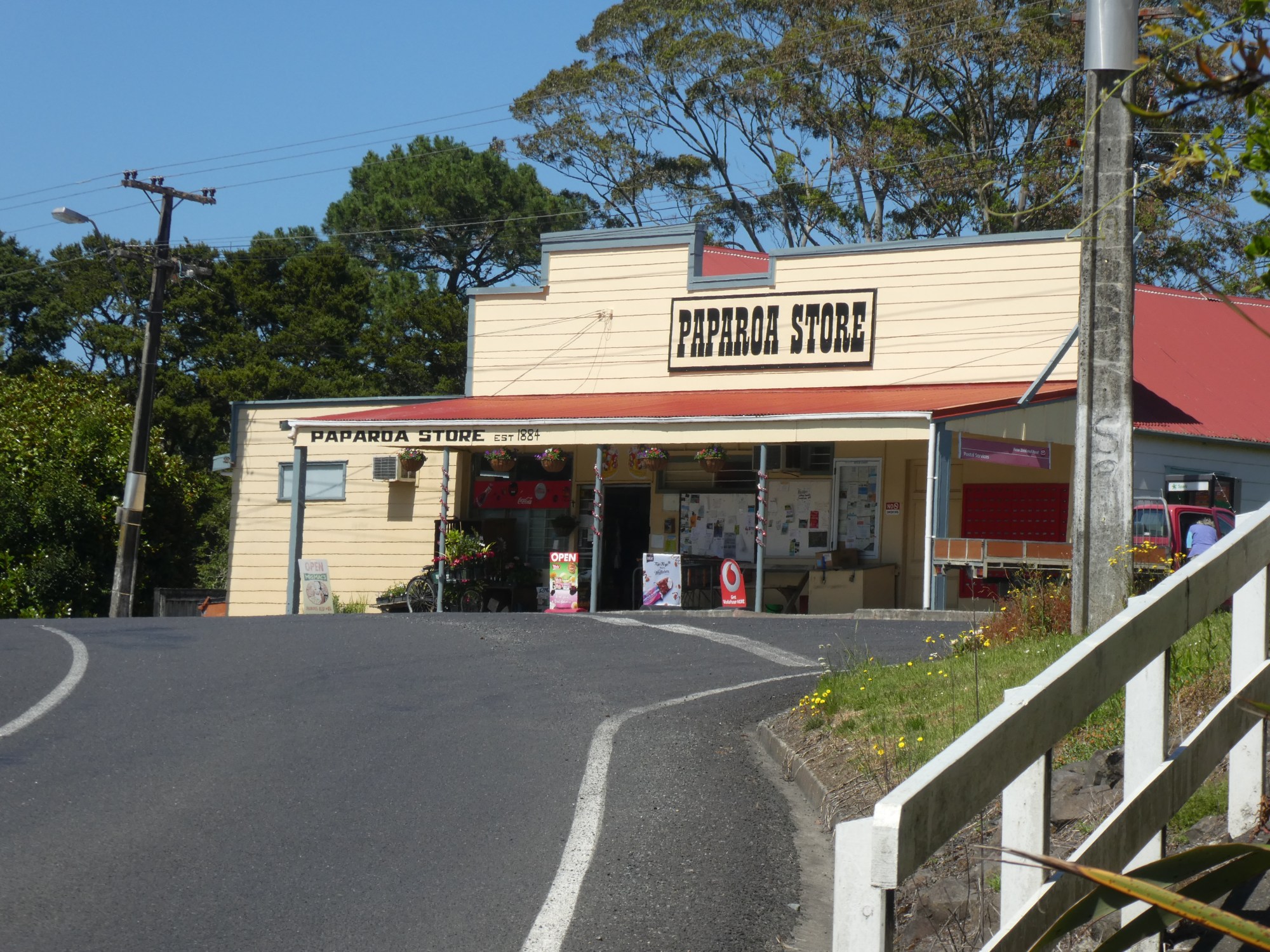
We decided to do a day trip from Pahi to look around the local area, and the first stop was the little historic town of Paparoa – only about 7 kms away from Pahi. The Paparoa stream flows through the town and eventually meets the Kaipara Harbour. The steam boats that serviced Pahi also came to Paparoa, which was also settled by the religious Albertlanders that settled in Pahi.
Paparoa is not a big setlement, with a grocery store, a garage, a cafe and a home brew / craft store. There were two buildings that appealed to me though, and both are now private residences. The first was the old National Bank building. You could see that it was once a grand building that once served a bustling township, but is now showing signs of needing some love.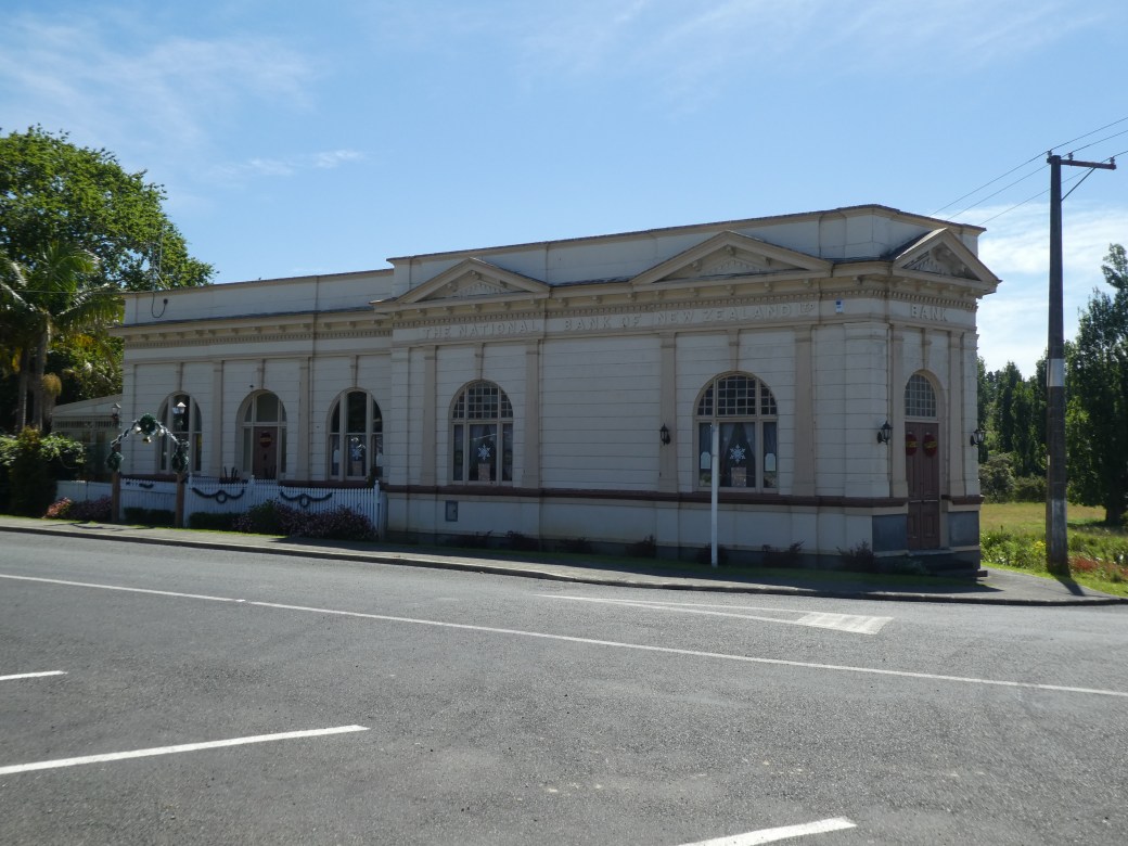
The other was a private home, but in contrast this place was evidently well loved and absolutely beautiful.


Across the road was a very pleasant park area, right on the bank of the muddy stream. Here they had erected a sculpture made of old salvaged kauri logs, and someone had taken the time to do a magnificent mosaic on top of the picnic table. The tall trees provided pleasant shade on a hot day. There was a sign for a walking path at the end, apparently to an old pa site, but unfortunately it cuts through farmland and dogs are not allowed, so we had to give that a miss.


After a walk in the park, we piled back into the motorhome and headed for Matatoke. There was a lot to see here so I will do a separate blog on that – watch this space.
Last stop for the day was Ruawai – home of the kumera. And true to its claim to fame, the town was surrounded by acre after acre of the crop. We wondered how it could grow as the soil seemed pretty dry, but the little plants were green and apparently healthy.
Ruawai is located on the very upper reaches of the Kaipara Harbour where the Wairoa river flows into it.
/arc-anglerfish-syd-prod-nzme.s3.amazonaws.com/public/ZFZEATH3MBCOVOJGCUUSVEJGAQ.jpg)
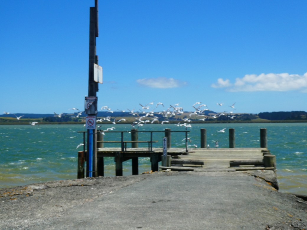
Alongside the river is a small park and a walkway, and we could not resist going for a walk, even though it was pretty hot in the sun at this stage. Not too far along, we came to a sign that explained the history of the area. Apparently, the land around Ruawai was one big flat, impassable bog. The stopbank was built for two purposes – a roadway through the area, and a way of draining the swampy land. The land, once drained, proved to be extremely fertile, and according to the sign, still does not require the use of fertiliser. The land is now used for dairy farming and the growing of kumera and maize.


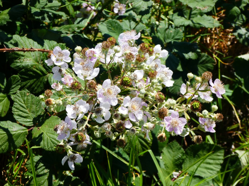
The fertility of the land seemed pretty obvious on my walk because I have never before seen such healthy blackberry plants.
Bruce had notions of having a tour through the Kumera Packing plant, but that did not seem to be an option, although there were many roadside stalls selling paper sacks of kumera for $10 a bag.
By this stage the day was marching on so we headed back to Pahi to settle in again, intending to explore Dargaville tomorrow. We had a relaxed and pleasant day. Very little traffic on the road, and all three towns we visited – Paparoa, Matakohe and Ruawai were sleepy little settlements with not may people around.