Alexandra and Clyde

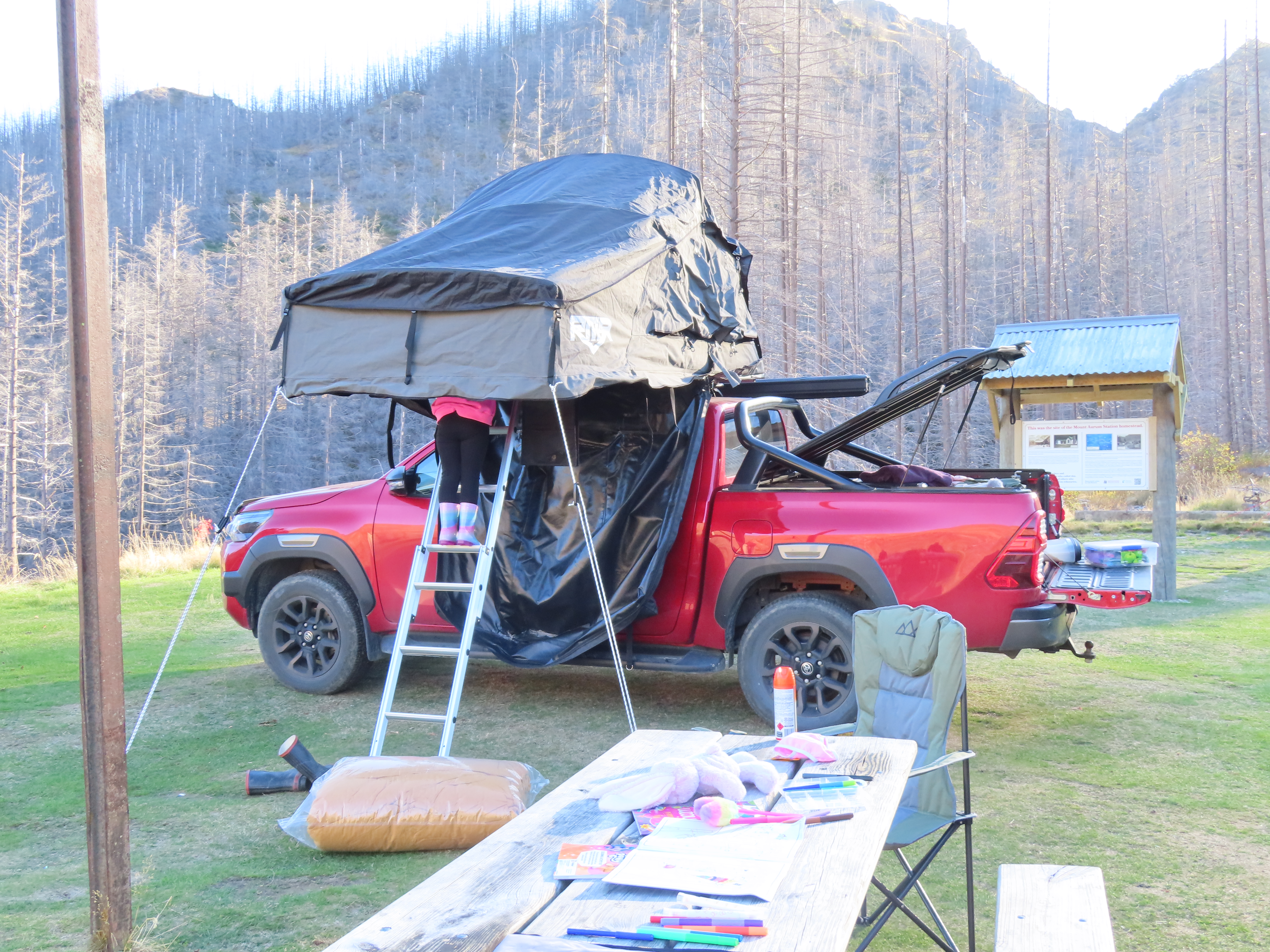
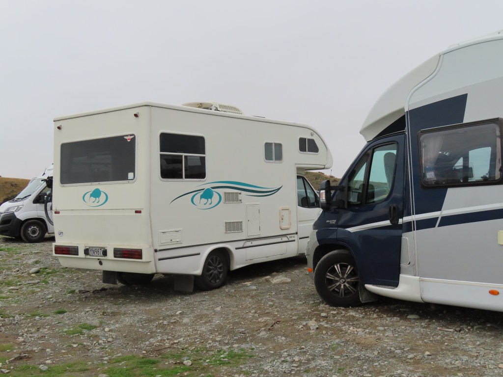
We were expecting a bit of bad weather, so when we moved on from Roxburgh, it was with the intention to find somewhere that wasn’t going to get water logged. We had not stayed in the NZMCA Park in Alexandra before, but we were pleased with the look of the place so we booked in.

We also used the opportunity to get our washing done in the local laundromat and to do a bit of grocery shopping.

The park in Alexandra was right next to the ice skating rink. I was keen to have a go but Bruce would not be persuaded. I have not skated since I was about 18, when my Aunty Kate took me skating on the Manorburn Dam in the middle of winter. That dam does not freeze enough these days to skate on, and I guess my balance probably isn’t what it was then, so maybe not going skating was for the best. I notice quite a few school kids going in there though, presumably as a part of their phys. ed. programme.

On the other side of the park was the Alexandra Swimming Pool and I was amazed at how many cars of people came to swim – at all times of the day. Again, Bruce could not be persuaded to go for a swim.

We were treated to a brilliant sunset, and only a couple of showers overnight, so not as bad as was expected. It was windy though.

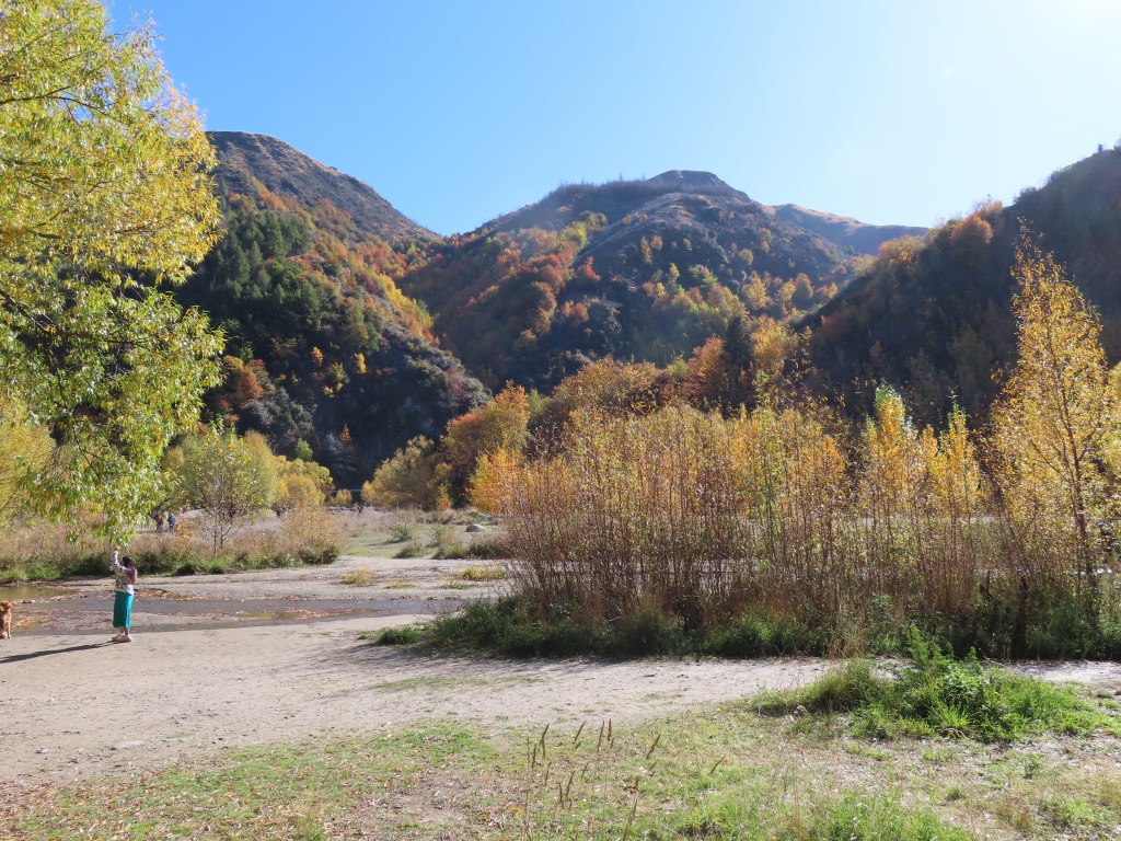
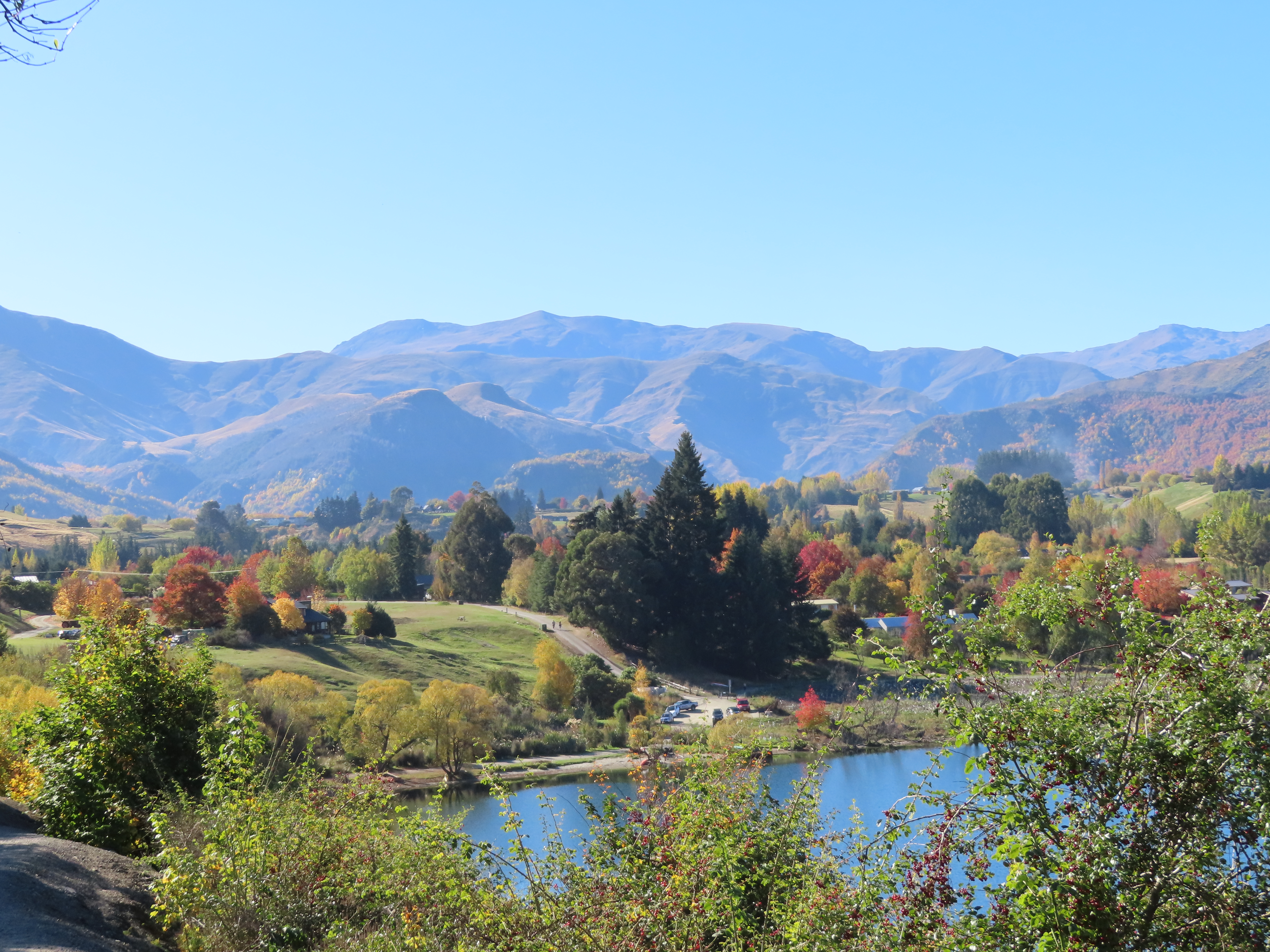
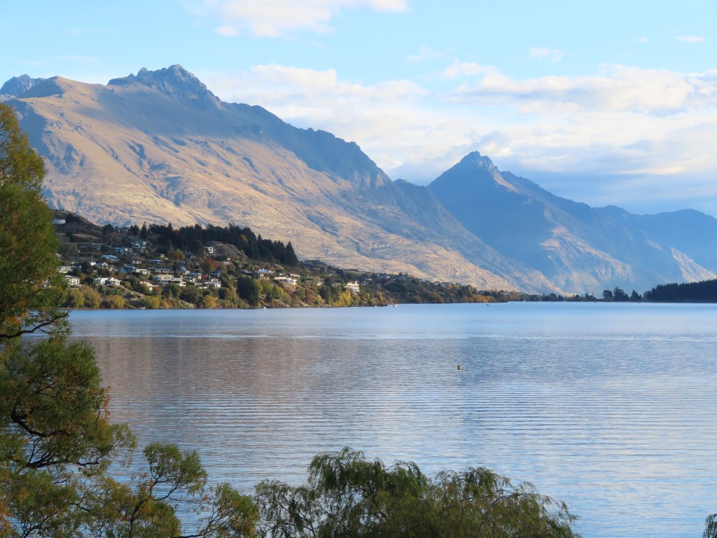
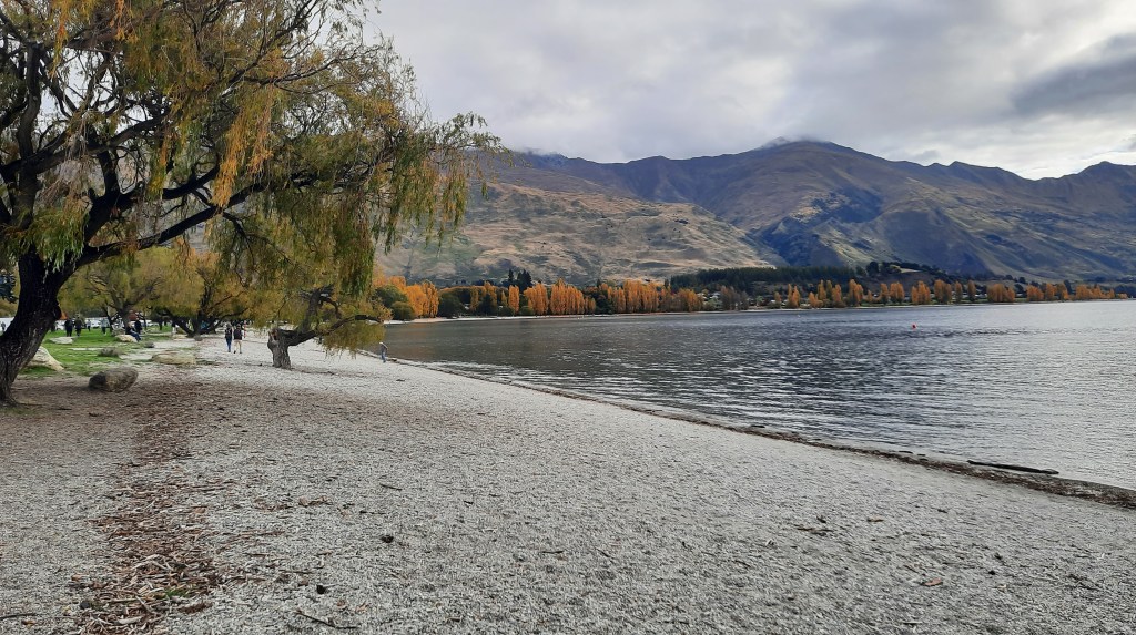
The next morning we headed off to visit Clyde – a vast distance of 8 kilometres away.

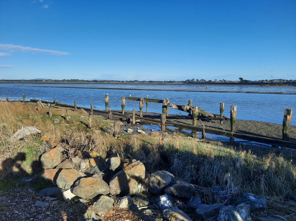
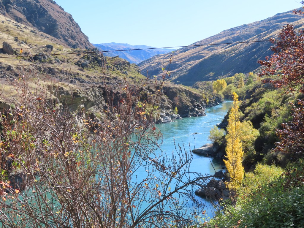
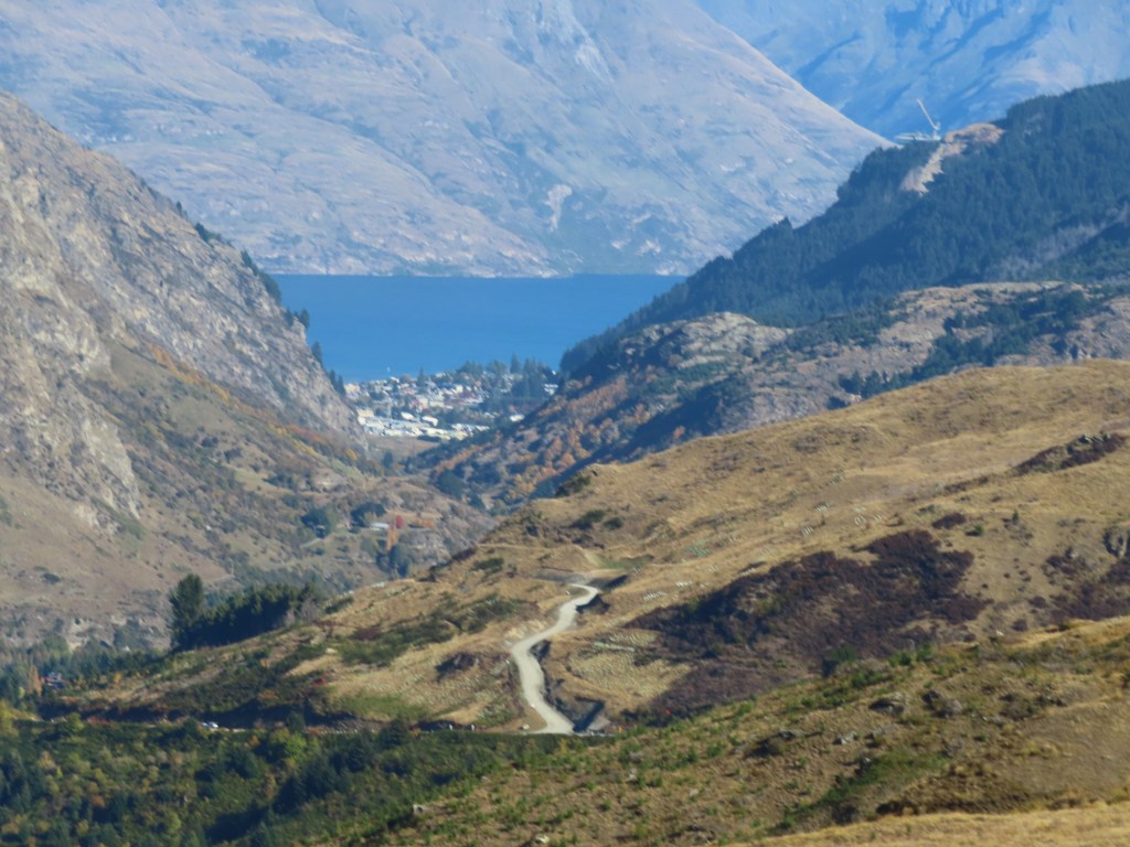
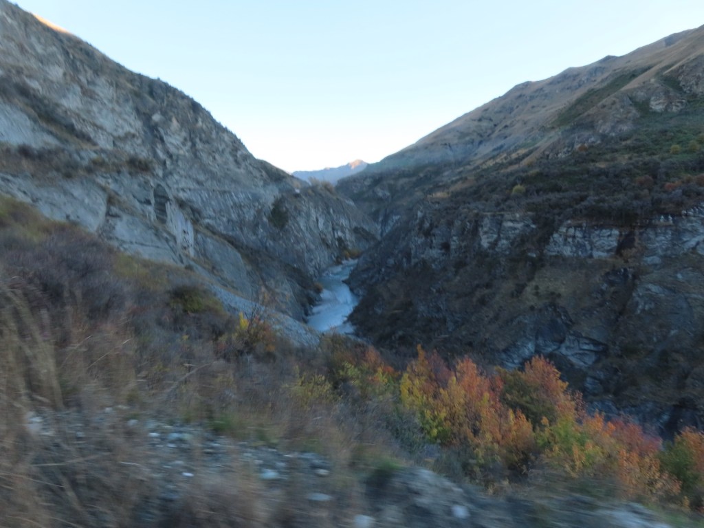
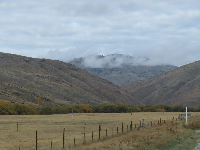
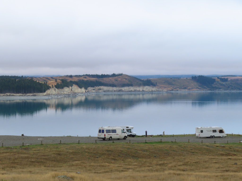
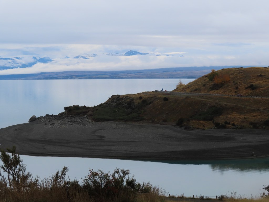
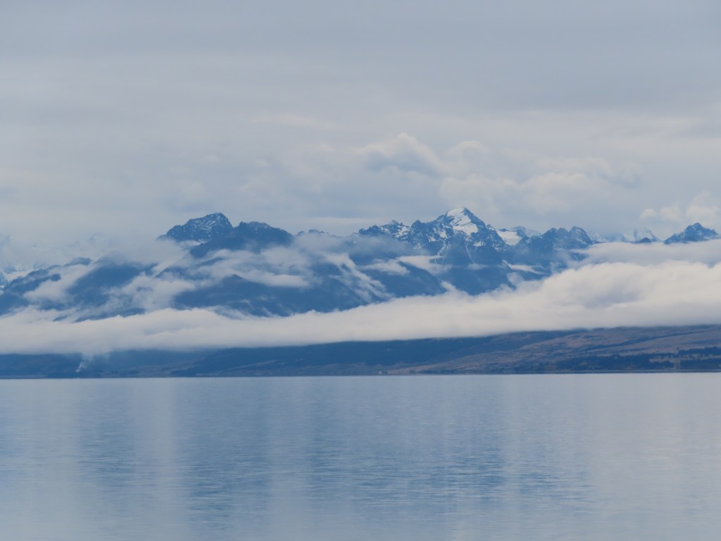
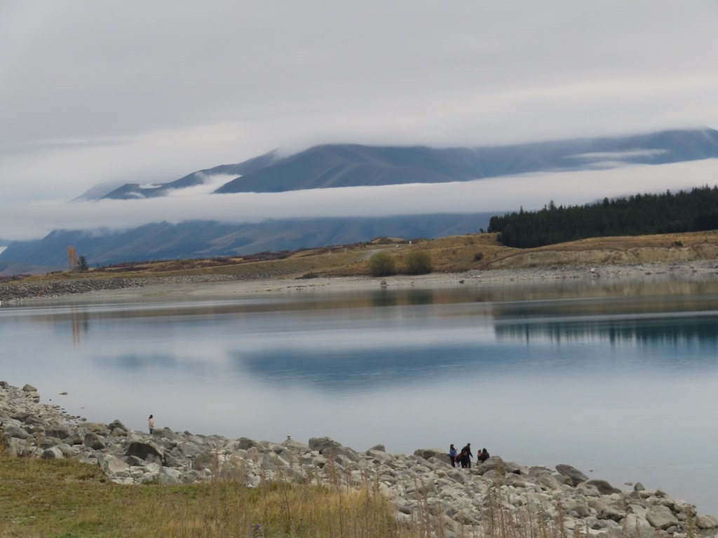
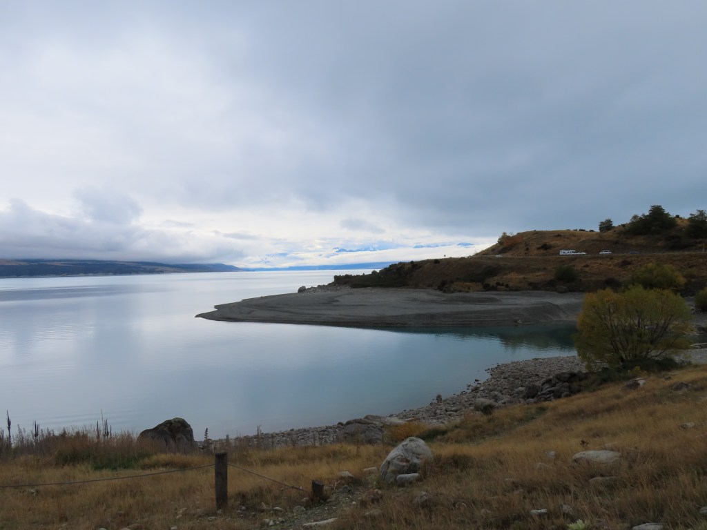
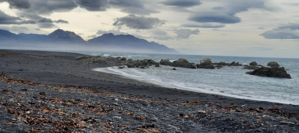
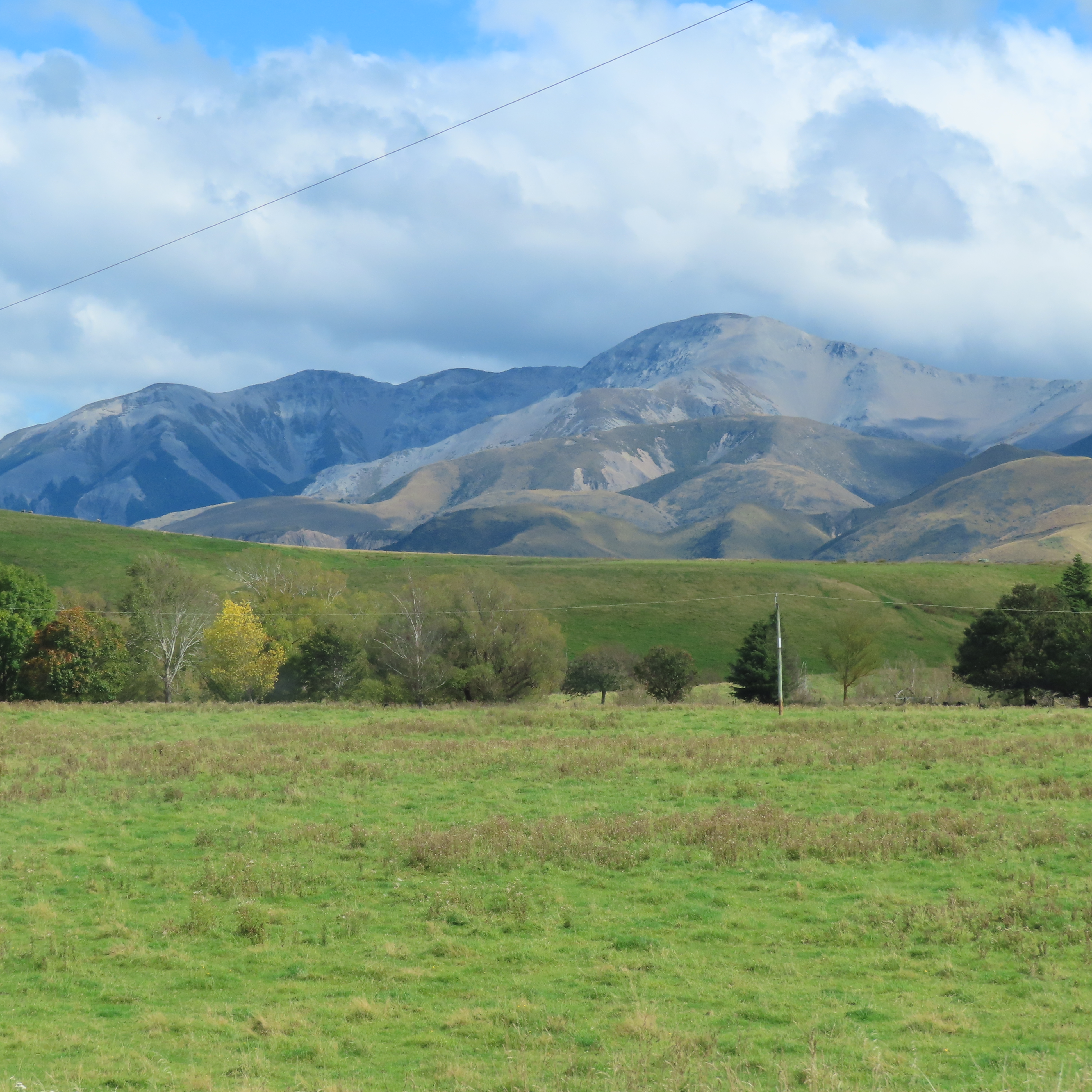
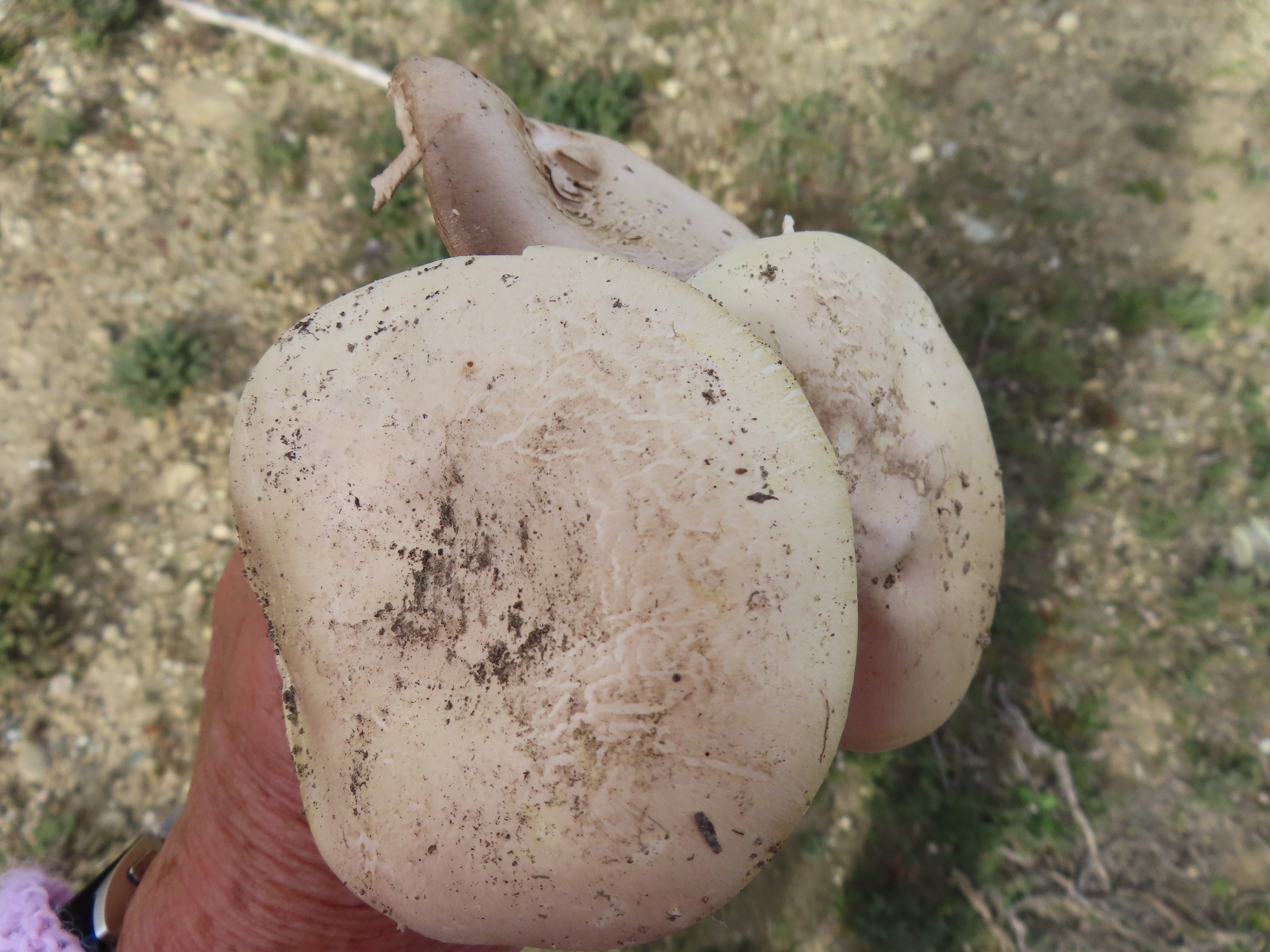
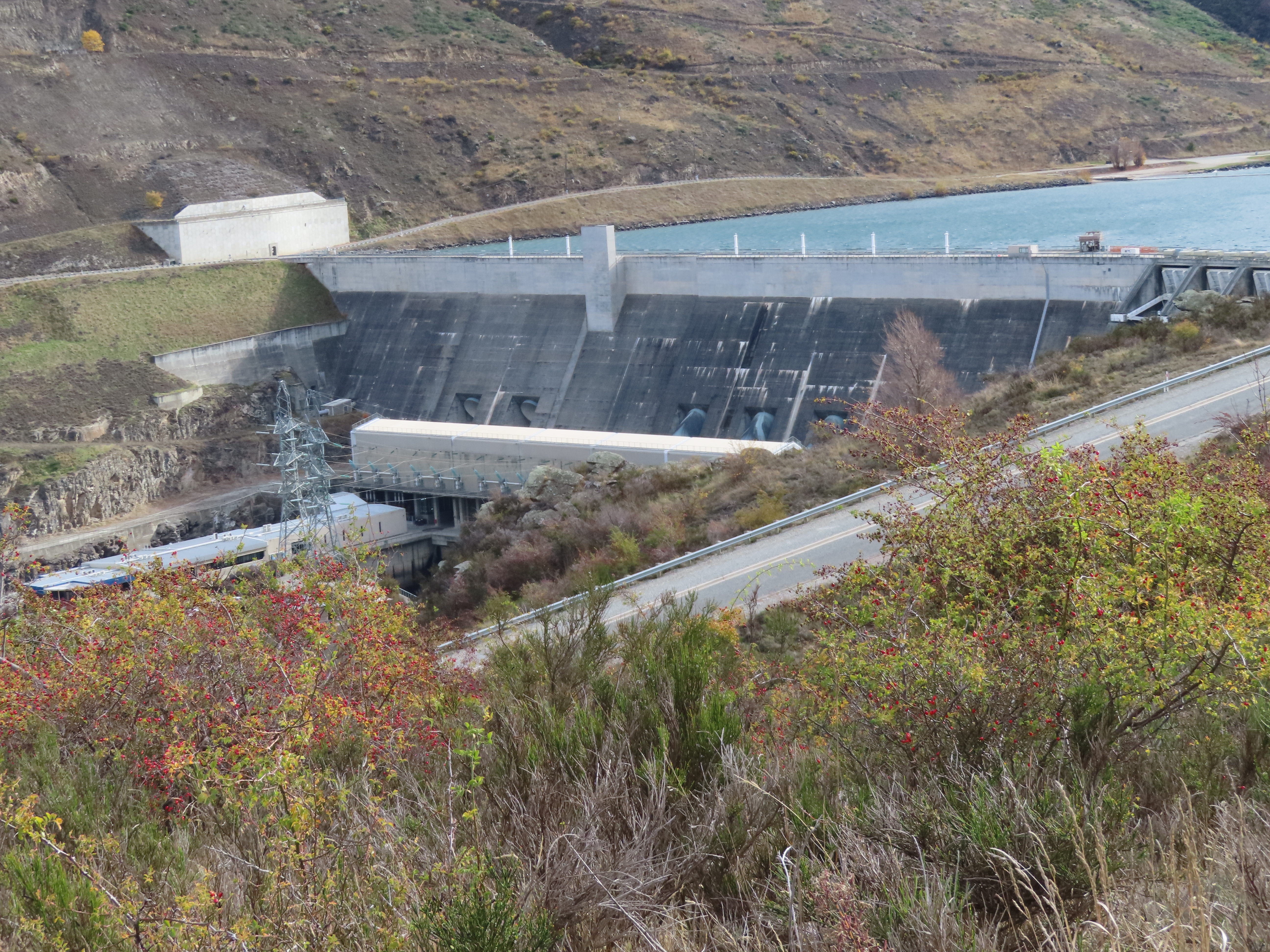
Our first stop was to the lookout over the dam, and I almost got blown away. The wind was certainly strong up here. The bonus was that I found some big mushrooms that we had for tea the next night.

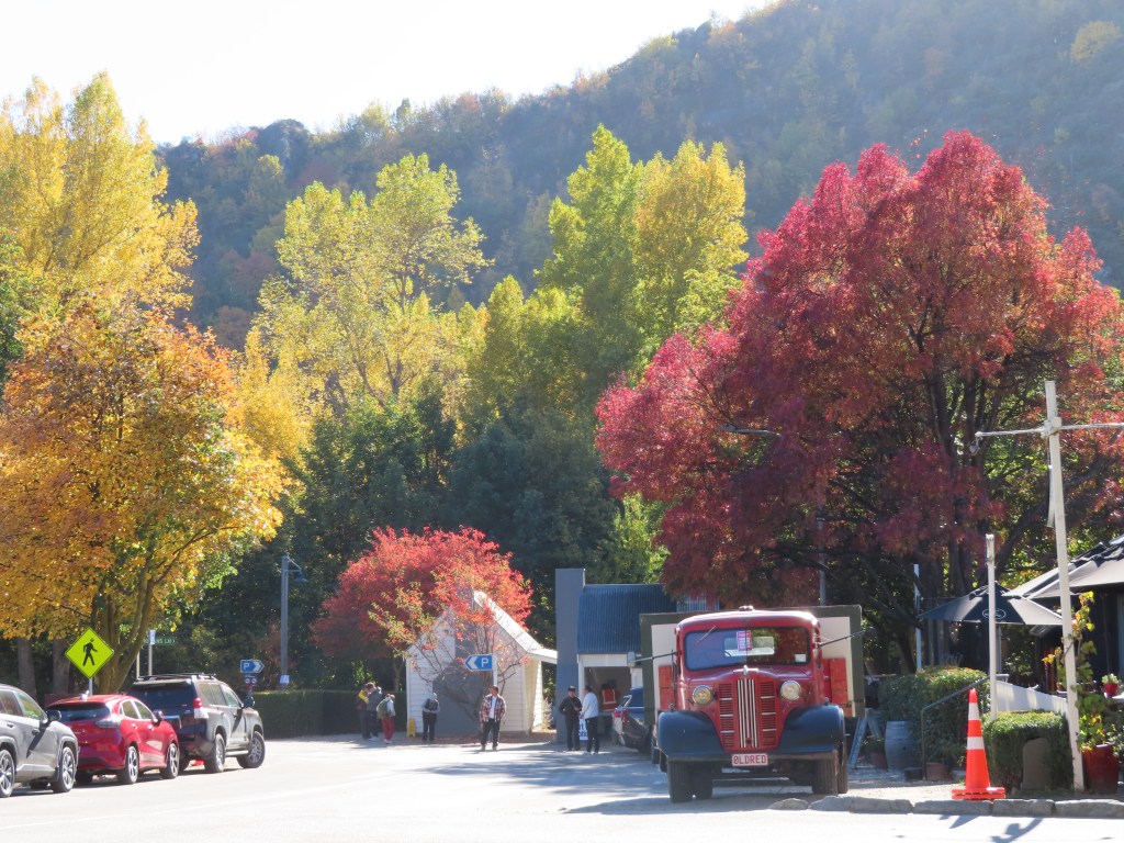
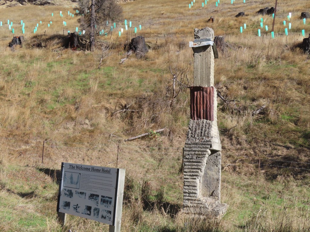
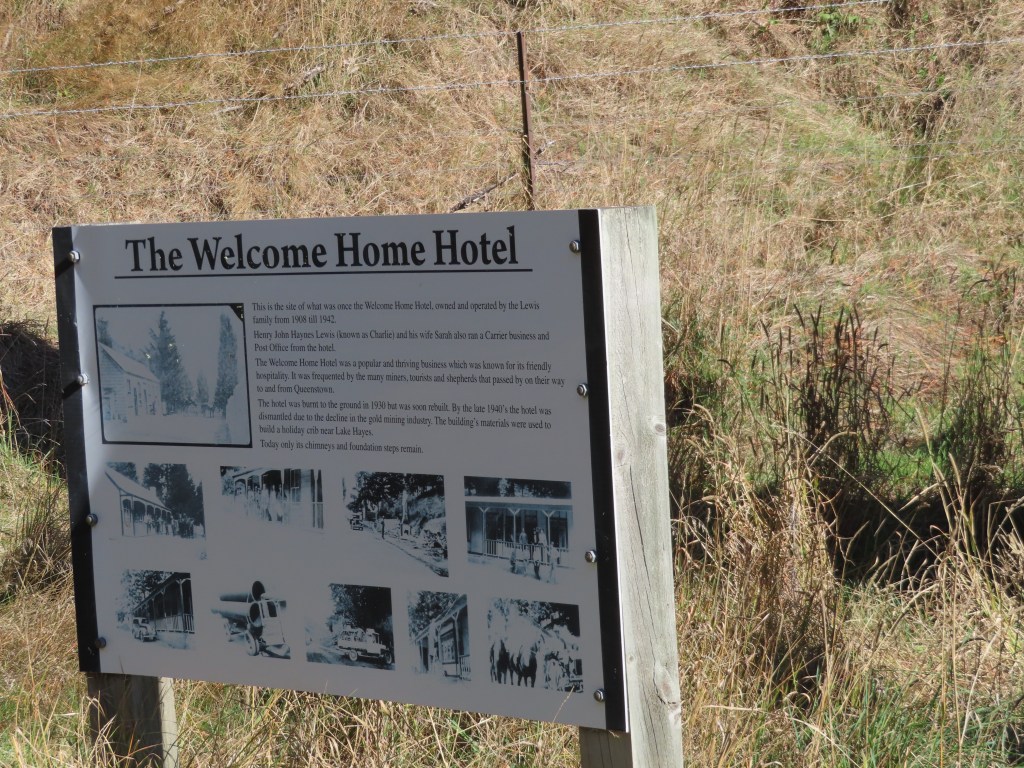
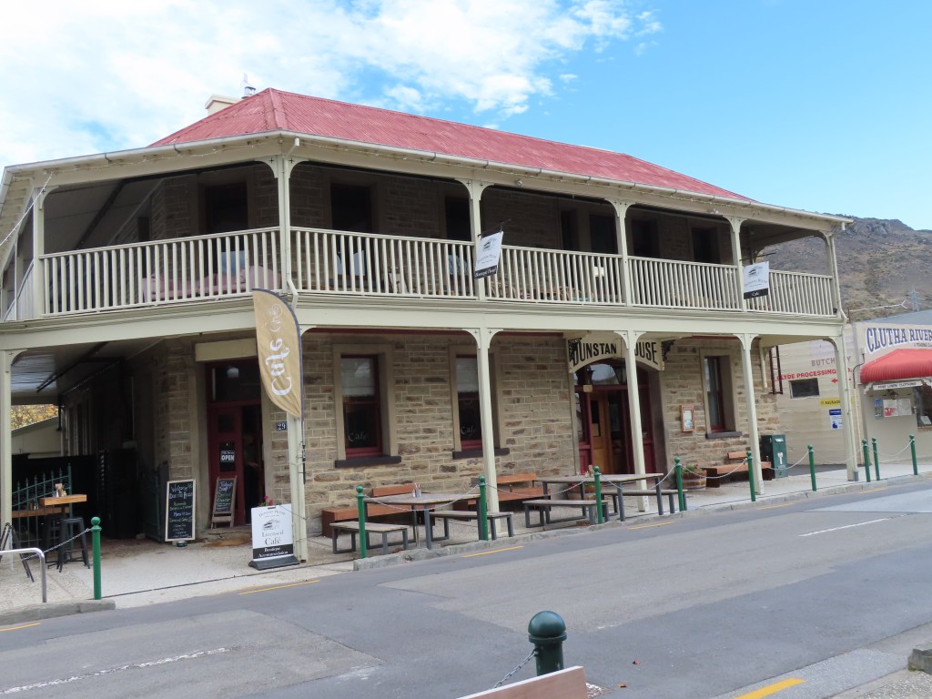
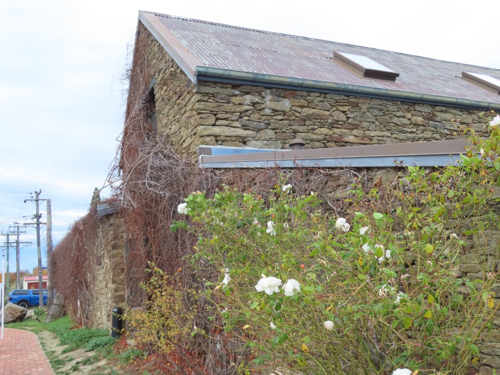
The township of Clyde was as quaint as ever, but certainly not very busy

We called in to the compulsory stop of Oliver’s Bakery for lunch, and to Touch Yarns before heading back to Alexandra for the final night of our stay.

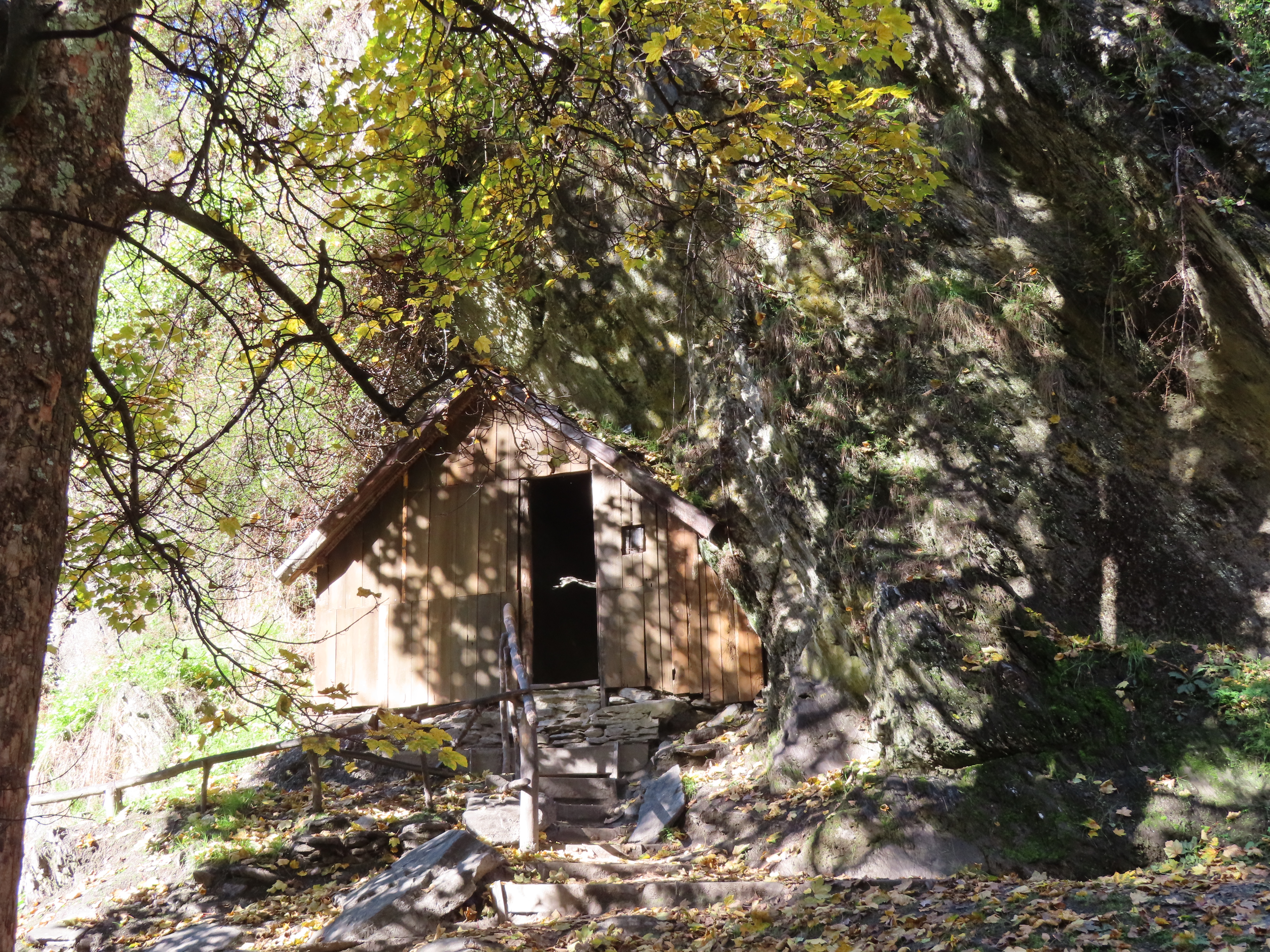
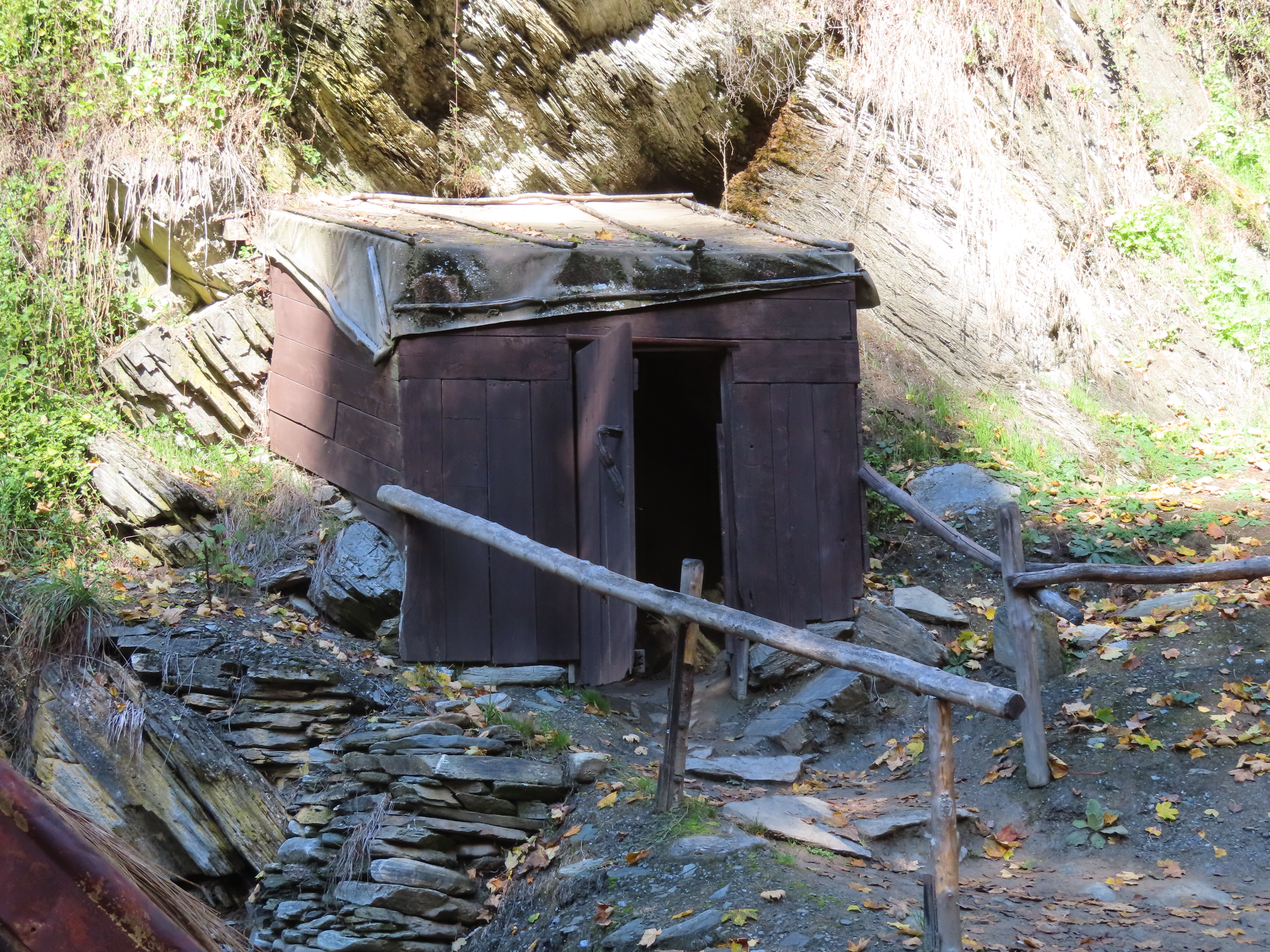
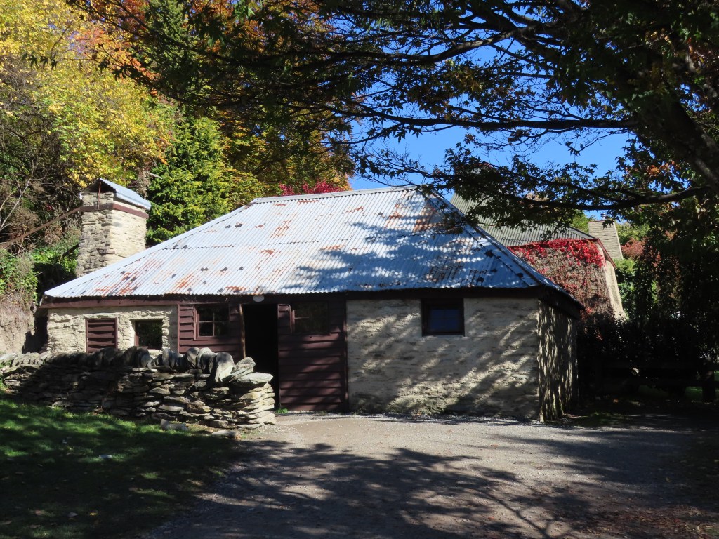
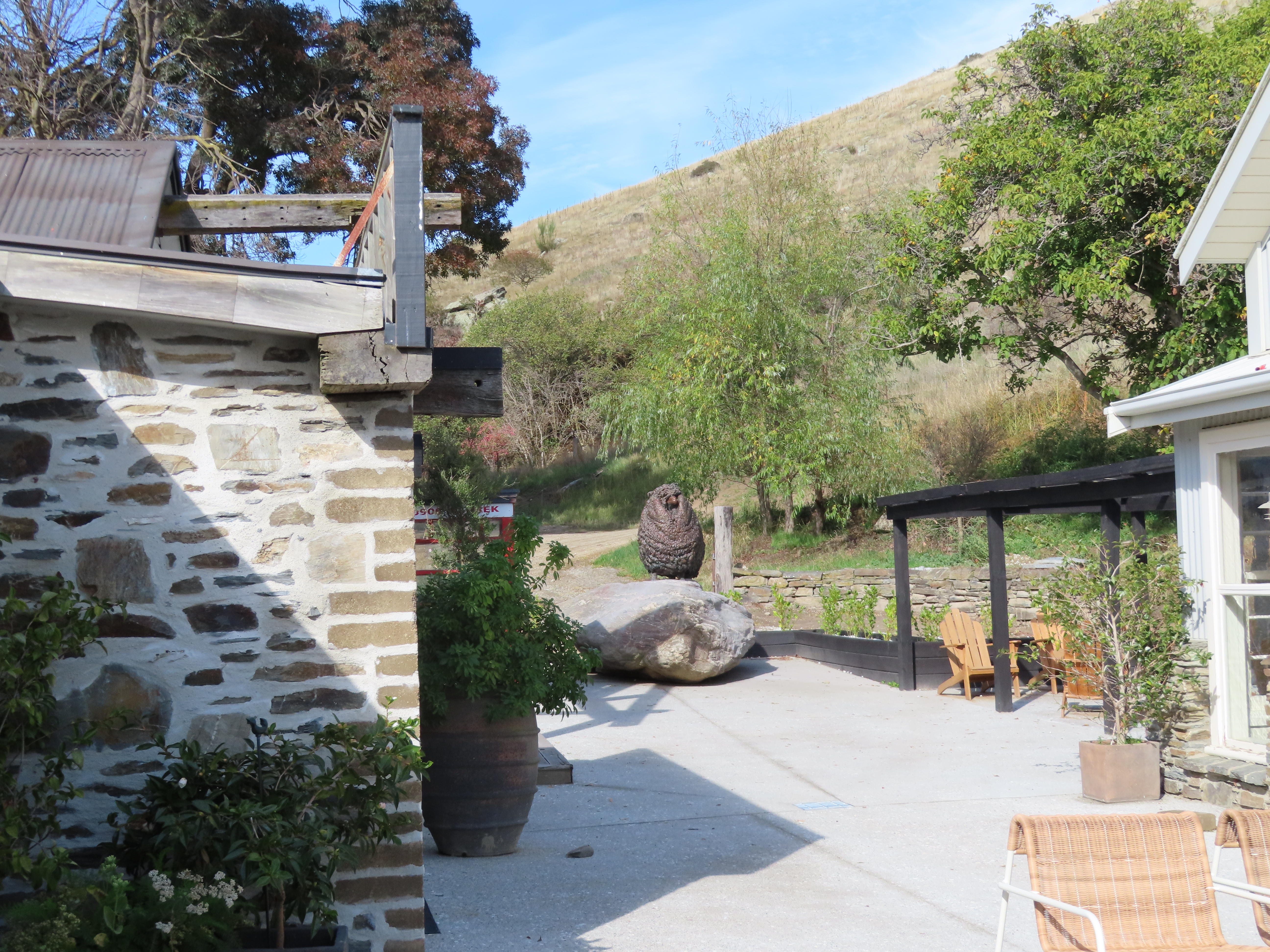
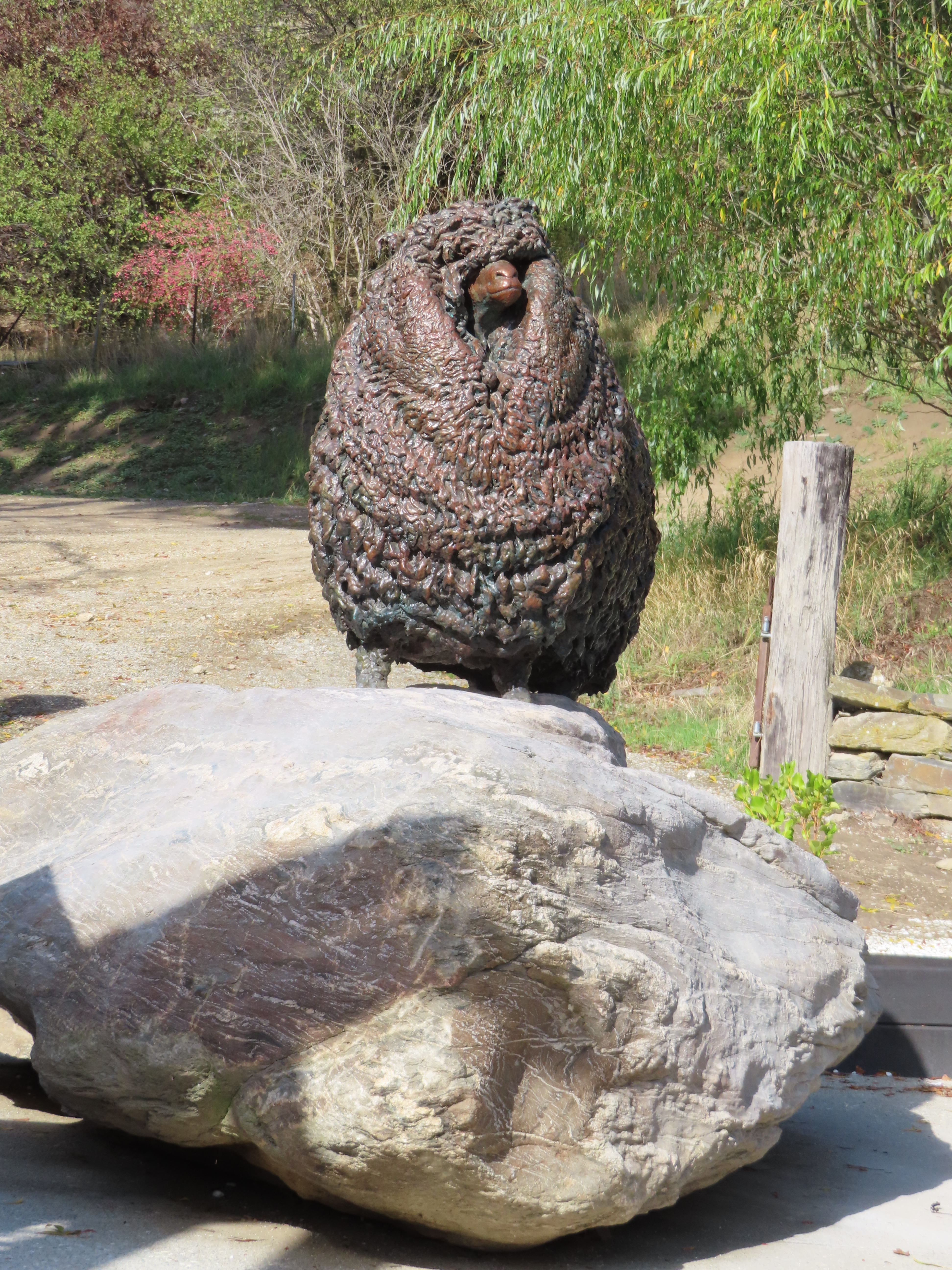
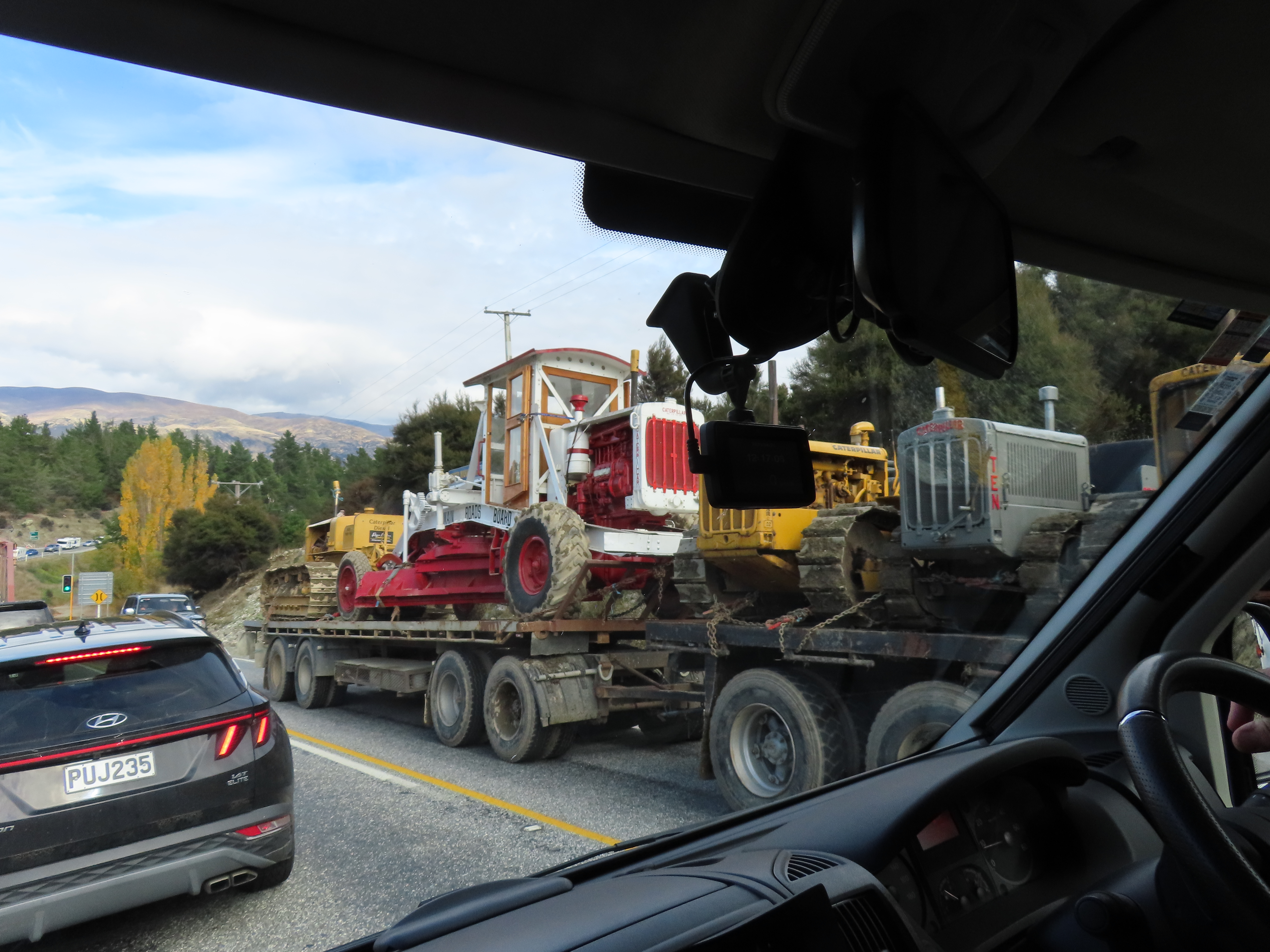
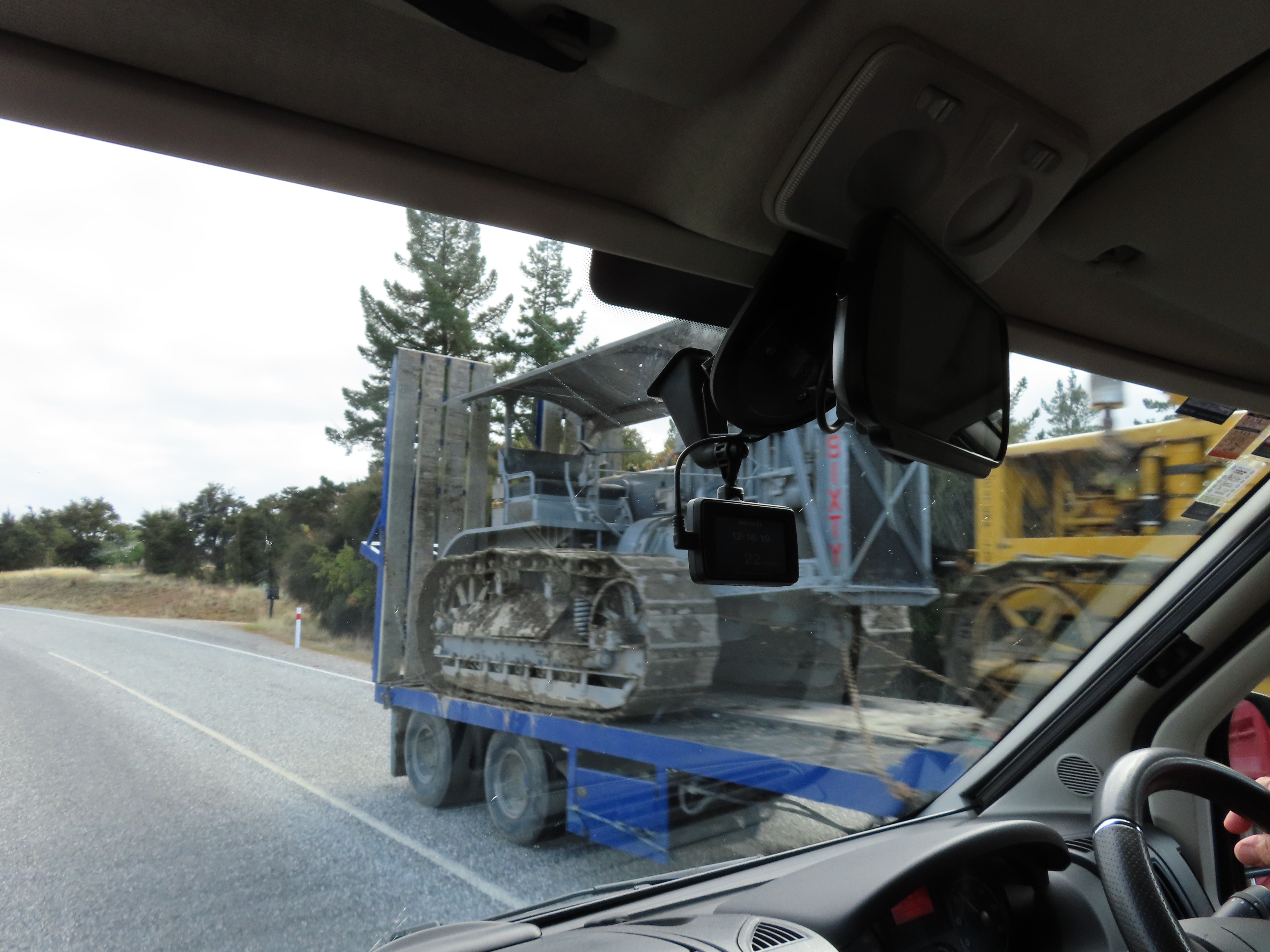
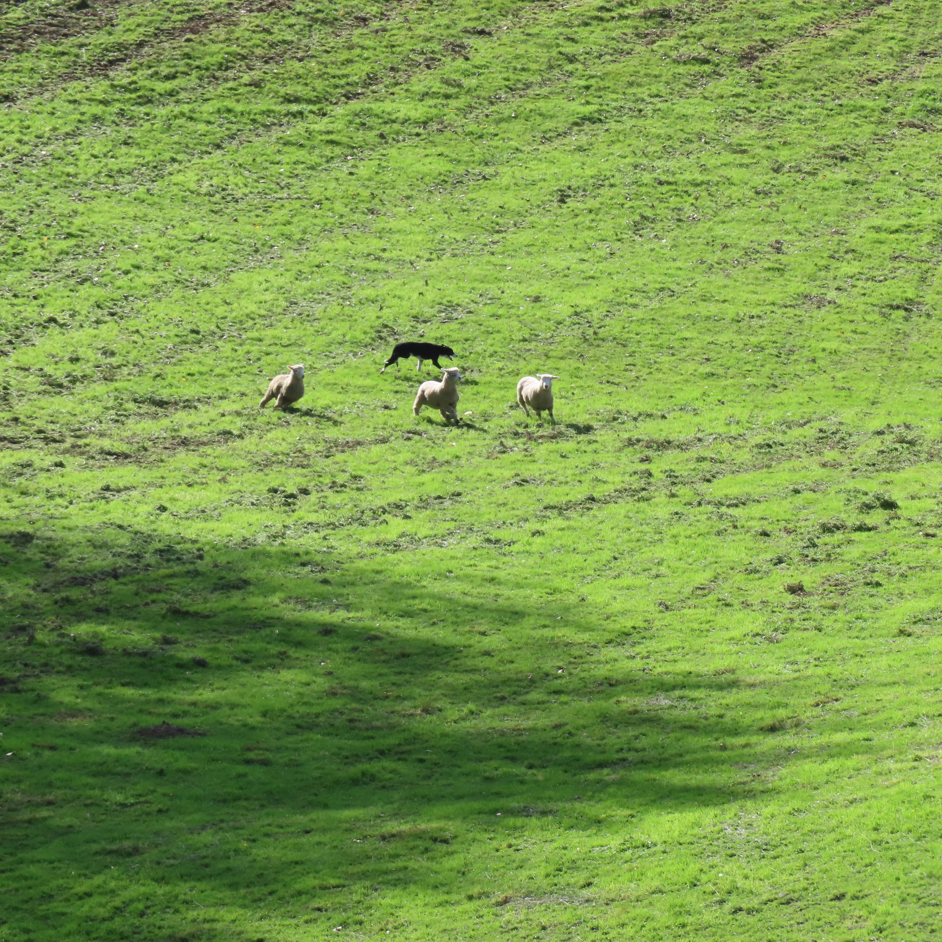
The next day we took a visit to Hayes Engineering, which is somewhere Bruce has wanted to go to for a long time. Last time we were down this way they were closed. The trip was a bit slow for a while as we had to wait for some cattle to stroll down the road ahead of us.

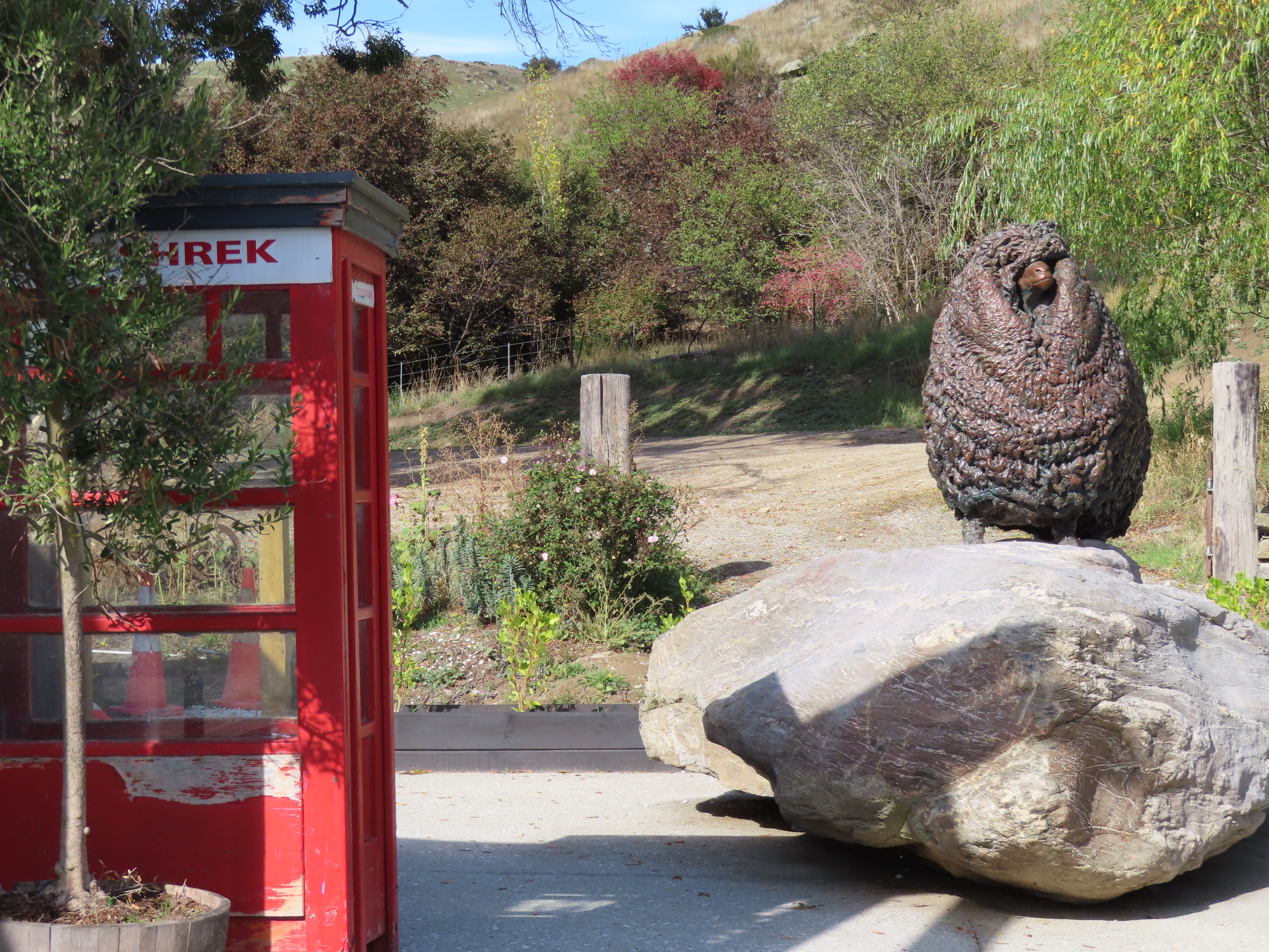
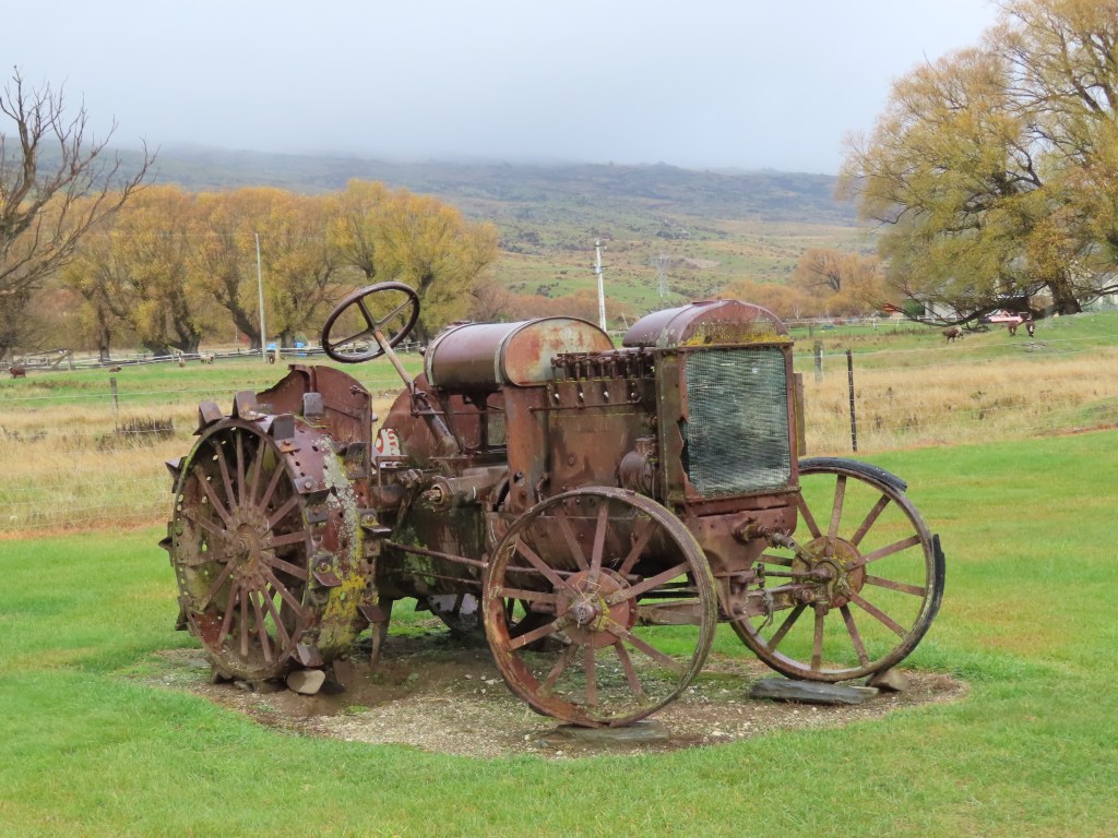
The first thing we saw when we got to Hayes Engineering was a tractor even older than Ruby.

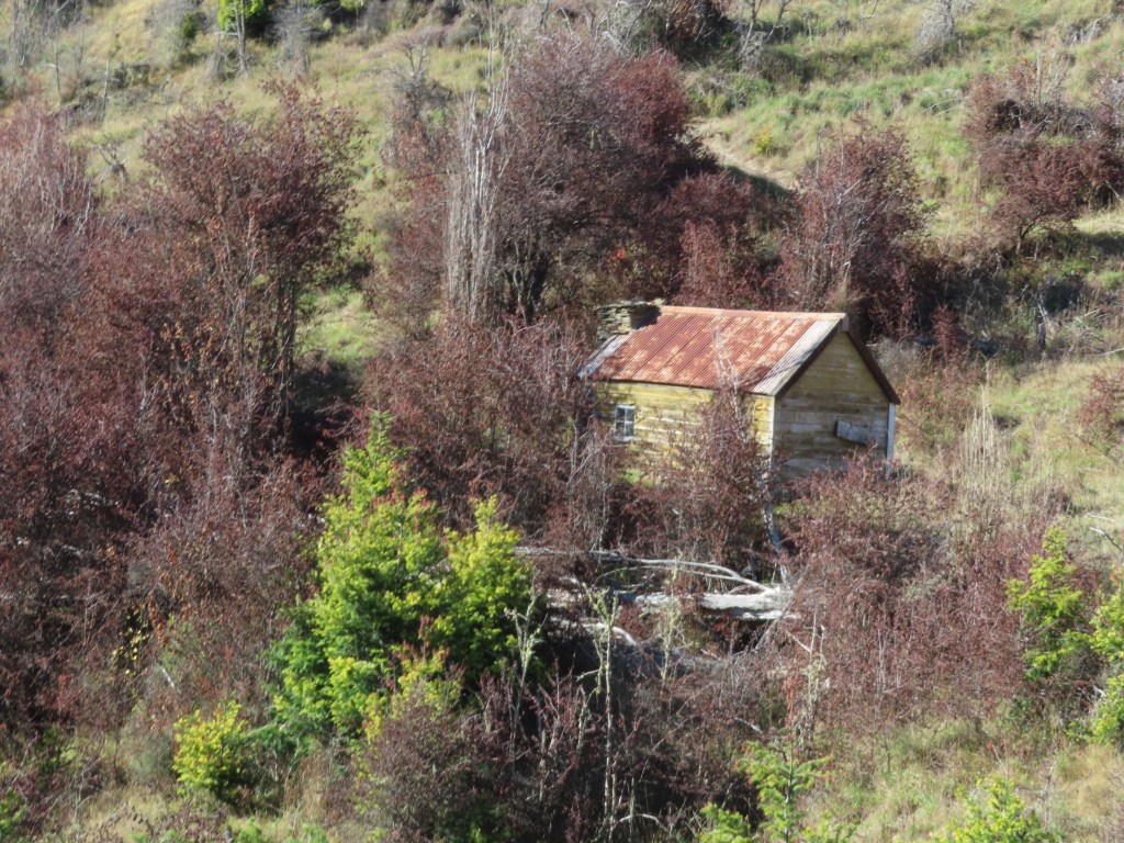
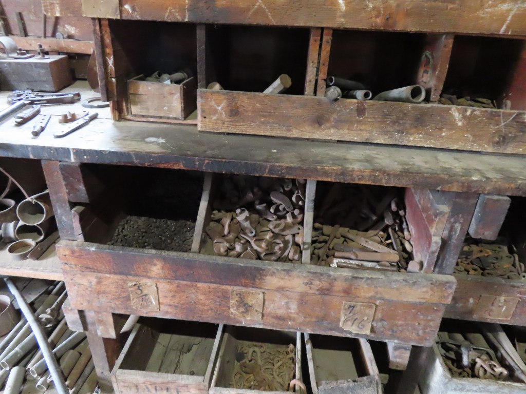
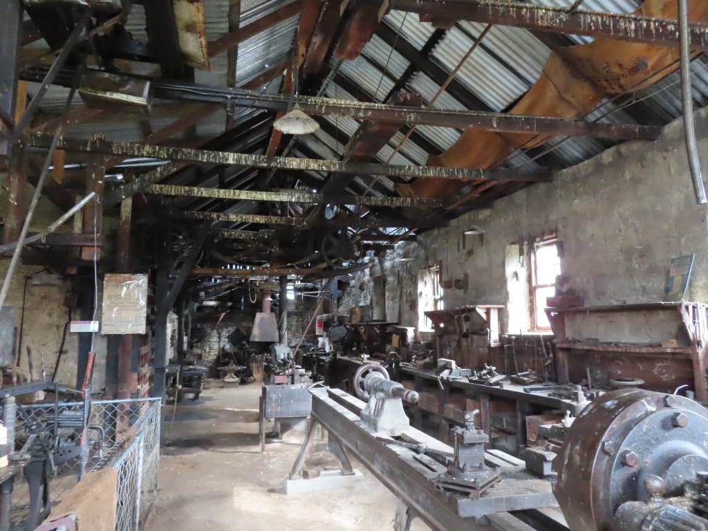
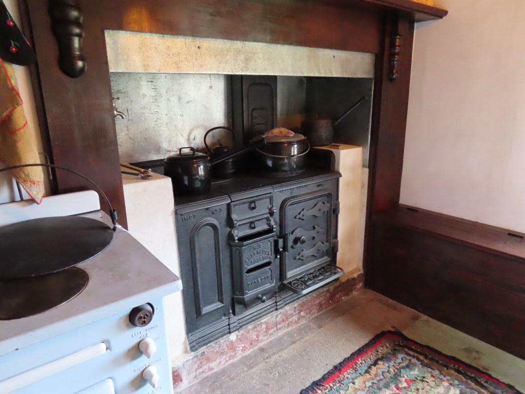
Robert Hayes was important to New Zealand because he invented the Hayes wire strainers which are now used by fence builders throughout New Zealand. Our friend Mike has a pair that he used on his farm fencing. The factory was pretty basic, with a rammed dirt floor. Everything was exactly as it was left, including bins of nuts and bolts.

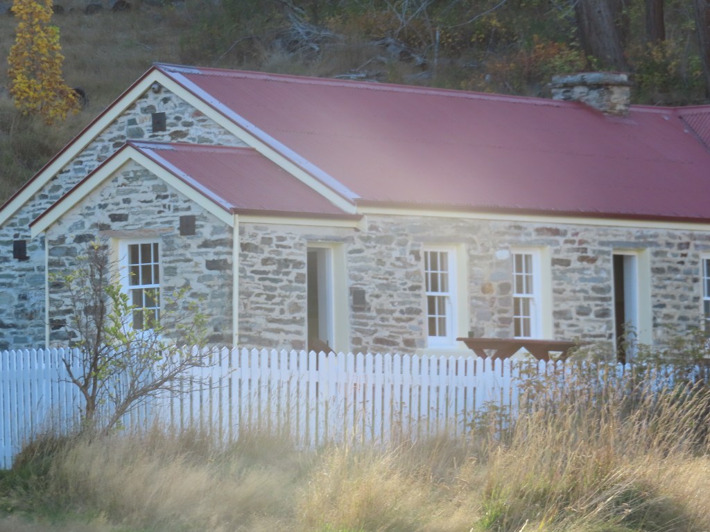
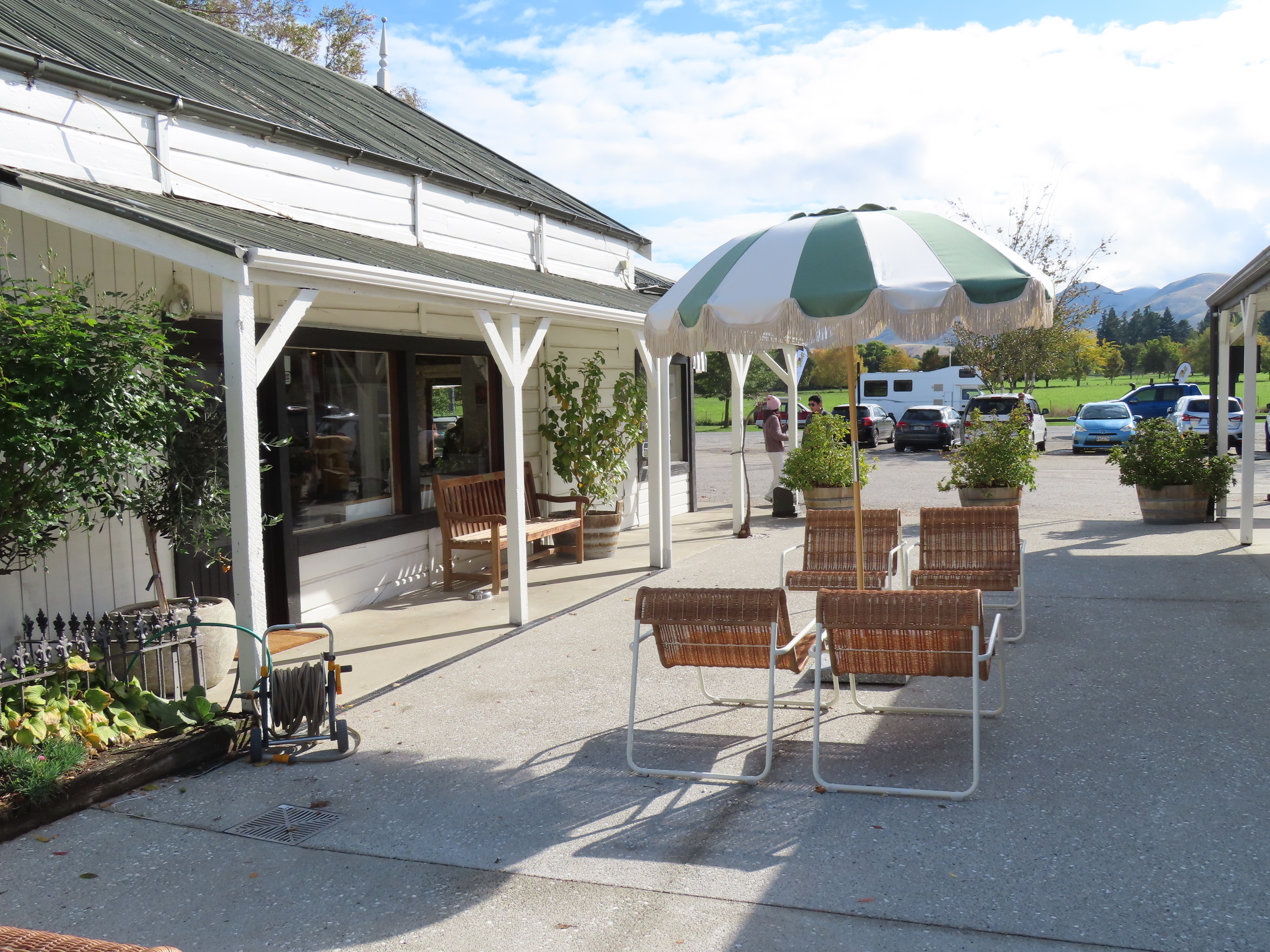
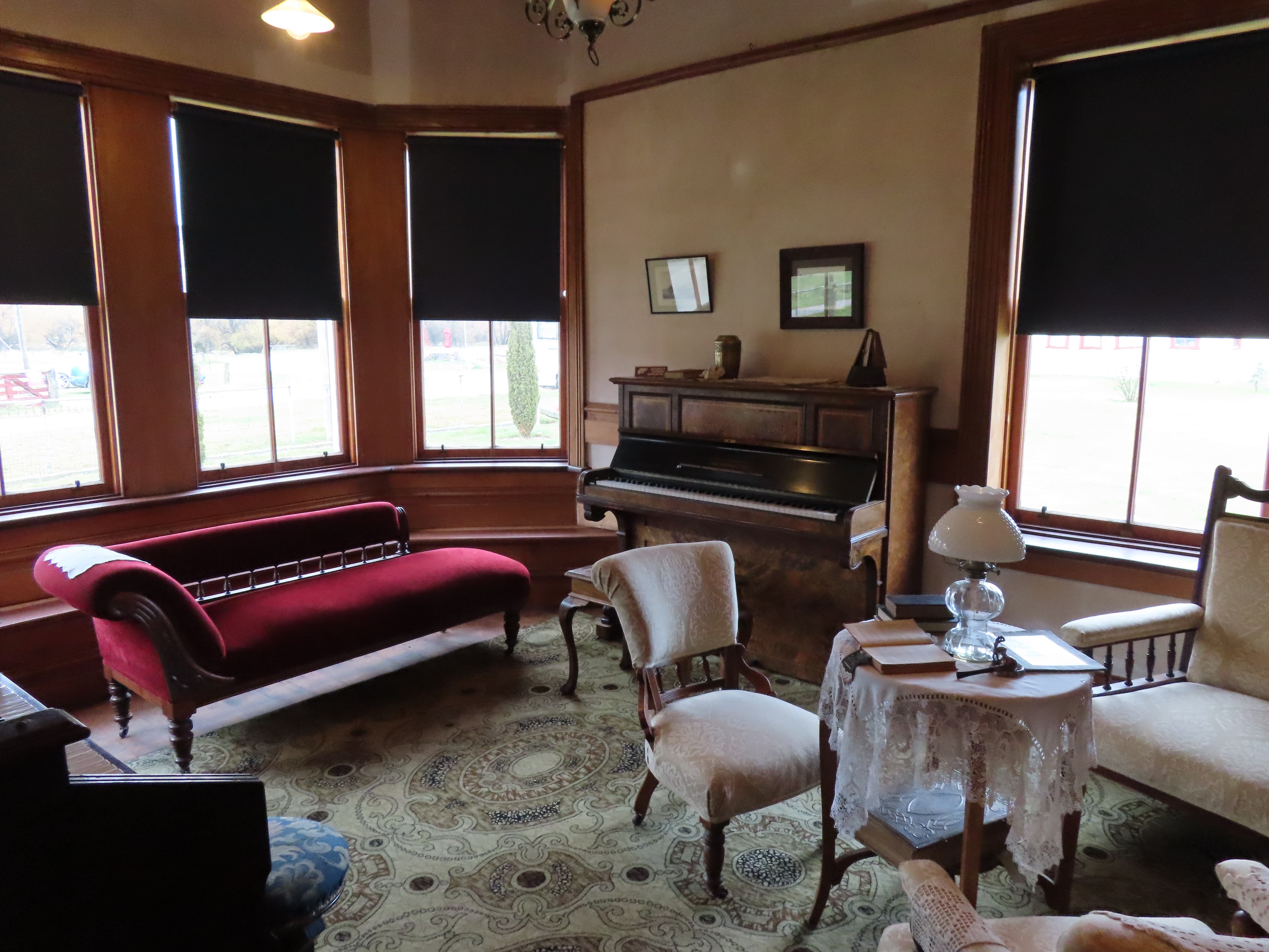
The cafe was the original farm house, and was also built of rammed earth (walls and floor). The later farmhouse was built in 1920, but the rammed earth blocks for it had been made several years before and hidden under tussock while the first world war was on. Only after the war was over were the bricks retrieved and the house was built.

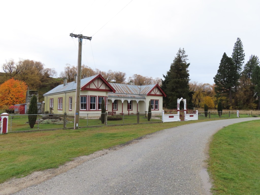
We were able to go through the house which had an internal shower and an internal toilet which were rare in that time.

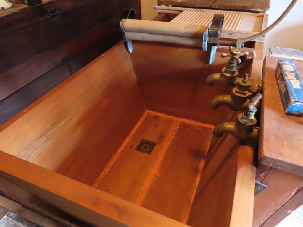
The wash tub was kauri.

Overall, it was a great place to visit, but not at all what we expected.

The Points – Kaka Point and Nugget Point

There is a delightful Park over Property at Kaka Point. We had stayed there before and were keen to do so again. The place is a farm, just across the road from the beach, but is sheltered from the wind and OK in the rain. It was raining again when we arrived, and it did so for most of the night.

Nugget Point is just 8km down the road, but we decided not to go there until the next day when the forecast was for a sunny day. That proved to be the case, but before we went anywhere we had to take the dogs across the road to the beach.

It is a long sandy beach, with a few dunes before the road, and the area is known for seals, so the dogs had to stay on the lead (maybe I should have been also).

It wasn’t long before I noticed the telltale marks on the sand of a seal pulling themselves up the beach. There were three such tracks, and I followed one, and sure enough, there was a seal hiding (sleeping) in the grass.

Each section of beach is separated by a little rocky outcrop. Sometimes there is a way through instead of having to go back up to the road to get around it.

After a good walk we packed up camp and headed towards Nugget Point. We have been there before but as usual, had to go again. There is quite a walk to get there and up and down some steep slopes, so once again my lungs were challenged, but we made it, and it was well worth it.

We spent a bit of time at the light house because the scenery is just awe inspiring – it takes your breath away. What also took my breath away was a young lady running up and down the track several times just for exercise!

After a delightful visit, and the return trek to the carpark, we settled in for the drive inland. No more coastal views for a while.

Heading further south to Gemstone Beach and Monkey Island

Once we felt well enough we set out again. I wanted to revisit Gemstone Beach again, because the last time we went there it was almost full tide. We really needed to be there at low tide or an hour or so either side of it. Unfortunately, the weather wasn’t looking great and looked worse the more we drove. I guess the plus side was that parking wasn’t going to be too much of a problem because only hardy souls would be out in this.

Once we got to the Beach we were lucky to get a short fine break so we went for a walk.

You wouldn’t believe from the above photo that the stones would actually be so colourful and so varied.

Bruce and I must have spent about 45 minutes fossicking around before the rain started coming down again and with it the cold, so we made our way back to the van. We only had a small bag each so not enough to weigh the motorhome down and make us exceed our weight limit.

We dried off and then headed for Monkey Island, which is a freedom camp only a few kilometers away. By the time we got there the weather had fined up again. We were only the 3rd van there – little did we know that the caravan down the other end of the carpark belonged to Bruce’s sister’s best friend. They moved on before we made the connection.

This time the dogs were able to come walking too and they really enjoyed some off leash time. As we walked further along the beach we spied this curious structure.

The closer we got, the more strange it seemed to be. We were not sure if the house got engulfed by the dunes, or were they building around the dune? You can see a window through the hole in the dune.

It was good to have a nice beach walk again and the dogs wore themselves out. We decided that as we planned on going to the Catlins tomorrow, it would make sense to stay the night in Invercargill again as it would save an hour off our trip tomorrow. We enjoyed as much of the day as we could at Monkey Island and then headed back to Invercargill.

I would have to say that we were impressed with how easy it was to navigate Invercargill, and that helped in the decision making. We were beginning to feel comfortable there. In addition, there are plenty of walks for the dogs, and all the necessary services needed by motorhomes.

Arrowtown and the lake stay

I really wanted to see the legendary autumn colours in Arrowtown, and it was so close that once we left the Driftaway Motor camp, that was the direction we headed. We knew the Arrowtown Autumn Festival was on, but we did not anticipate the sheer numbers of people that would attend. There were tourists everywhere and it took a while for us to even find a parking place big enough to fit us in. However, we did and I think it was worth it.

We did a stroll through the main street (leaving the dogs behind). There was no possibility of getting a photo of the old shops, or for the most part, being able to enter a shop, because of the crowds. We thought we might get a coffee initially, but there was no chance of that. Therefore, we carried on to the old Chinese Miner’s section.

The Chinese were very badly treated by the rest of the gold mining population, and this was not helped by the fact that few of them could speak English. They were not allowed to live in towns, and had difficulty getting the materials required to build their huts. As a result they tended to have their own little villages, with their own shop, and other services eg doctors etc. They were often given the worst plots of land to mine and to live on, and they had to work twice as hard as the other miners. Some stuck it out, and were successful. Others decided to make their money by growing vegetables, by baking bread, and other farming to provide food for sale to the miners. You can certainly understand why when you see the houses that they had to live in, in the freezing cold.

The Chinese Miner’s shop was the biggest building by far.

We had a leisurely walk by the stream to take in the views.

We finally did find a place where we could get a coffee and a scone, before we wandered back to the motorhome. On the way we passed an Asian bride and groom in the main street trying to get their wedding photos taken, but having to contend with people always getting in the way of their shot. I could feel their frustration.

We happily left Arrowtown’s crowds and headed for nearby Lake Hayes. This was once a freedom camping area but that was stopped because of the way the land was treated. We stopped in to take the dogs for a walk.

The track was in really good condition and we were able to walk a couple of kilometres before heading back to the motorhome.

By the time we got back, we had to start thinking about where we would spend the night. We headed back towards Queenstown, bypassing the town, following the road alongside Lake Whakatipu.

As usual, the Remarkables are remarkable. We decided to stop at a freedom camp at the side of the Lake, and managed to get a good spot by the water. It is amazing where you can stay for free in NZ.

We decided to spend 3 nights here because we had a train to catch on Sunday!

Queenstown and Skippers Canyon

We normally avoid Queenstown as it is definitely NOT motorhome friendly, but this time we decided to stay at the Driftaway Camping Ground, in Frankton. This is a fairly new camp, and it was a delight to stay at. Here, we had the chance to catch up on laundry, and have some beautiful hot showers. It was only a short walk through the gate to the lakeside, with extensive walking/cycle tracks. We came across this automatic counter telling you how many cyclists had been this way today – nothing about walkers though.

The scenery from our campsite was beautiful as well.

The camp had amazing facilities for keeping children entertained – ping pong, bouncy mat, a little slide, sandpit etc. Everything was spotless, and the barbeque area had views to die for. The camp was pretty popular and almost full (school holidays I guess).

The next day we took a taxi into the centre of Queenstown (at an exorbitant price), to meet our tour party for Skipper’s Canyon. The road to Skippers is reputed to be the most dangerous road in New Zealand, and our 4wd Jeep was being driven by a slip of a 21 year old girl. However, she quickly gained our confidence and she had been driving this road as a tour guide for the last 5 years.

The tour follows the sides of the Shotover River. The road is a public road, but is not maintained by either Transit, or the local council, so it can be pretty rough in places. Ocassionally, one of the local tour companies will pay for a grader to come through. Although it is seen as a two lane road, there are not many places wide enough to pass if you came across a car coming the other way. This happened to us 3 times during the trip, and each time, our driver had to back up some distance to be able to let them pass.

The countryside is very steep, with almost vertical drops down to the river on one side. The hillsides are predominantly of a slate type of rock which readily falls apart – so very unstable.

There are three permanent resident families in Skippers. One was a squatter who camped on a particular piece of land, continually for 20 years, until he, by law, then became the owner of that land. At that time he built himself a small, permanent house, and he still lives there now.

The house in the photo above was built as a meeting point, halfway into Skippers by a couple who lived further into Skippers but whose children refused to drive all that way to visit them. The halfway house was used for visits while they were alive, but is unused now.

Along the road we also passed the ruins of a hotel, that used to serve the gold miners of the area. The story goes that that the couple who ran the hotel needed help, so they hired a young lady. Her employment lasted 5 days, when she was whisked away by one of the miners as his bride. This happened again and again to the ladies they hired to help, until in the end they advertised in Christchurch for the ugliest woman they could find to help them out. It was to no avail – 5 days later she ran off to be married to a miner.

The Shotover River was an important gold mining area, and that was what the road was originally built for. When panning for gold became less successful, miners resorted to water cannons to erode the hillsides to hopefully reveal more gold. As the result, the landscape was altered substantially, and remnants of their pipes etc are still visible.

The midway part of the tour was the old Skipper’s Canyon Schoolhouse, where we stopped for a coffee and a gingernut.

To get to it though, we had to cross the Skipper’s Canyon Bridge, which is only just wide enough for the jeep. Apparently several wing mirrors have been lost on this bridge.

All this makes you realise what a hardy bunch our ancestors were. Maybe it was worth it – Skippers was once known as the richest goldmining area in the world! We were amazed that today, there were three families camping here for a few nights. Hope they don’t freeze to death.

We made our way back, but stopped along the way to go down to the River where we had the opportunity to pan for gold. Our Guide demonstrated for us, and out of a spade full of sand from the river bed, all she got was one tiny speck of gold. The rest of us decided it wasn’t worth getting cold and wet for.

This was also the site for the Shotover Jet base. We hung around to watch it return.

Overall, it was an educational and interesting trip, but there was no way the motorhome would drive on that road! I seem to remember my Dad saying he took the bus over it but surely I misunderstood. I don’t see how a bus could get around those corners. Apparently, stock trucks don’t use it – all livestock has to be walked in or out.

Once back to Queenstown, Bruce and I were shaking our heads at the queue for Ferg’s Burgs. It was about 50m down the street when we left, and was still about the same when we came back! They must be really good burgers!

We will be sorry to leave tomorrow. The scenery has been wonderful, but I really want to see if I can visit Arrowtown in the autumn.

Onwards to the south

After a peaceful night at the side of Lake Pukaki, we continued southwards. OOOPS – Bruce accidentally sounded the horn as we pulled out of our parking space. Hope it didn’t wake our close neighbours up!

Normally we would stop for a soak at Omarama, but this time we decided to keep driving. I really wanted to go back to Wanaka, to approach a few galleries to see if they would show some of my paintings. The idea was that we would spend a couple of nights in Wanaka but found that as it was still a holiday weekend, the camps disallowed dogs. Therefore, it became a day trip to do a shop, and to visit a couple of galleries.

To get to Wanaka, we had to travel Lindis Pass. This is usually a very scenic trip, but as usual, the skies were overcast, and we could not get the full effect of the beautiful scenery.

In the middle of the Pass is a historic town called Tarras, and we stopped there for another look.

Bruce has decided that this trip is to be the quest to find the perfect cheese scone. The one he had at Otira remained at the top of the the table, but he had to try one from Tarras. Although it was good, it was not good enough to topple the Otira Hotel off it’s spot.

As usual, the Lake Wanaka was beautiful, but there were people everywhere, and we were lucky to get a suitable park at all. The traffic coming towards us from Wanaka was a continuous stream, as the festival Wheels over Wanaka had just finished. We saw all sorts of big machinery coming away from the town – talk about carbon burning.

The galleries I visited had beautiful paintings and they both expressed an interest in my work. I need to develop and proper portfolio that I can email them. The gallery I visited in Geraldine was also keen on my work, but they take 50% of the sale. I am not sure about Wanaka.

Once I had finished my visits we carried on to Luggate, a town not far from Wanaka where we stayed at a Park Over Property owned by Motorhome association members. This was a bonus for the dogs as well, because the lady of the house worked at a petfood factory down the road, and they manufactured dog treats from venison, and we were given samples.

The tube things at the back of the photo are the trachea of deer, stuffed with dried marrow etc. I had temporarily placed them in the fruit bowl, but Hunter thought they smelt really, really good, so he managed to steal one. Luckily, I discovered it before he had scoffed the lot.

After our night at Luggate we are heading towards Queenstown – or rather Frankton, on the other side of Queenstown, where we are booked at the Driftaway Holiday Camp – our first camp stay since we left home.

Lake Pukaki

We left Twizel, but did not actually get very far that day. Just outside of Tekapo is a NZ Army Base – what a bleak area that would be in the depths of winter. Waiouru in the North Island would be no different, so maybe the army uses places like this to weed out the weak.

The road out of Tekapo goes through steep hilly areas, with Mount Mary out to the right and the Tekapo River to the left. It is no more that 30km down the road that the hillsides clear and the road travels alongside Lake Pukaki, which is a big fresh water lake at the base of Mount Cook. Again it was a cloudy day, so Mount Cook might not have been there for all we knew.

We had to stop at the first lookout we came to, and took a few photos, but the second lookout appeared to be a freedom camping site, so we decided we would stop there for a night. We were only the fourth van there but finding a level parking spot was a bit of a problem. In the end we parked at the end closest to the road going further down to the lakeside, and parked parallel to the fence.

The Parking area also ran alongside a cycle / walking track which seemed to be quite popular – lots of people out enjoying the holiday weekend.

We took a few walks with the dogs along this track and wandered down to a beach we could see further on. It was all gravel, so not easy walking, but even so, it was nice.

The only negative about the park occurred when an NZMCA member decided to park no more than a metre in front of our front bumper and less than a metre from a van parked on the otherside. When he pulled up Bruce asked him if he was seriously going to park there, to which he responded that he was. Most NZMCA members know they should leave a space of about 3 metres between vehicles for safety reasons, but I guess he felt that as this was a freedom camp, those guidelines did not apply.

Then to cap things off, he and his wife sat on a rock out the front reading a book – not even enjoying the spectacular view.

Nevertheless it was a great spot for the night. By the time it was lights out, there would have been about 20 vans parked up.

Onward to Tekapo

The weather forecasts were predicting a few days of bad weather so we had some choices to make. I can never go past Ashburton without stopping, so we decided to spend two days there instead of one. As it turned out, the weather wasn’t as bad as predicted but never mind. Ashburton has several attractions: one is the lovely dog park; another is the Ashburton Mill House – home to local yarns, and spinning wheels and weaving looms manufactured in the adjacent factory. This complex is right next door to where the flour mill used to be, that I visited regularly as a part of my role working for River Milll Bakeries. It burned down not long after the company sold it. The tall flour loading building remains. The Mill House was once lived in by the Head Miller, but was handed over to be used as a cafe and retail outlet for wool and spinning wheels etc. many years ago.

Once the weather system started settling, we headed on towards Tekapo, an area I just love. The motorhome park there is wonderful and we got a parking spot looking at the Lake. It is a shame to see the Lake even lower than it was the last time we were here.

There are lots of walks around here, and an extensive dog park right next door.

It was great for the dogs to be able to run free and meet other dogs. Beau is a very social little dog who loves to play with other dogs, as long as they don’t touch his bum! There are huge pine trees here, that drop huge pinecones, but don’t pick them up because they have needle like spikes all over them!

The dogs had at least 2 walks per day through the dog park.

The next day we met Ben (my son) and Karina (his wife) in the township of Tekapo. They had hired a motorhome from Christchurch and were enjoying a short time away on their own, for their wedding anniversary. Together we wandered around the Church of the Good Shepherd, and the area around it, and then had morning tea together. I would have to say that the tourism industry is booming – very hard to get a photo without tourists in it. I was again struck by how “self entitled” the Asians are in general. They will push in front of you, never consider moving aside for you, and won’t even move over to let you pass on the footpaths.

All too soon they were off, heading towards Omarama, while we decided to stay one more night before heading off southwards. It was a shame the weather didn’t completely clear. We had the odd shower, but even when it was fine, the cloud clung to the hills, preventing us from seeing the spectacular mountains behind the Lake.

Amberley and Christchurch

It was with great reluctance that we left Kaikoura to head south towards Christchurch. We were due to meet up with my cousin Sharon, and her husband Chris, on Wednesday, so we decided to stay in Amberley on Tuesday.

Amberley Beach is a short drive out from the town centre, and even though we had been there before, we decided to go again. Time has not been kind to this area. Firstly, it is evident that erosion has been a significant problem. We could see where huge shingle barriers had been built to try and keep the sea at bay. The beach is steep shingle so not easy to walk on. It didn’t take us long to decide to walk along the sea wall instead.

The other thing we noticed was the very poor standard of housing, including some living fulltime in their vehicles in the camp ground. We did not feel comfortable being out of sight of the motorhome.

We drove out to the golf course, and it looked like the sea had washed part of this access road away, and what was a narrow tar sealed road is not a very rough shingle stop bank. Here there is a bit of an estuary which has a pleasant walk around it, and we did a bit of that before driving back into town.

We decided to stay at a Park over Property for the night called Hannah’s Haven and it was charming.

The property is not far back from the main road, but you wouldn’t know it – it was very quiet. The man who owns it was a civil engineer who came to the area to work after the earthquake. It was supposed to be a temporary move but became permanent. His wife is a keen gardener and told me that they have a little micro-climate there. They are usually 2-3 degrees warmer than Christchurch, and see only 3-4 frosts a year. Her roses are still blooming when she goes to prune them in July.

The next day we headed into Christchurch. We had a bit of running around to do before heading to Sharon’s, and we did what we could before driving in Sharon’s gate – which requires precision driving!. Uncle Ron also came to dinner and it was nice to see him again too. Unfortunately, his memory isn’t improving, but he is still managing to live at home on his own, and he is pleasant company. On both nights, Sharon and Chris presented us with gourmet meals and their hospitality is boundless.

I spent the next day working from the motorhome, taking advantage of their broadband. I seem to have acquired an email marketing job which still needs to be plugged away at while we are away.

Friday was our last day in Christchurch, and we navigated the city centre to go to Ravenscar House and gallery, as recommended by my friend Jenny. The huge house was built from rubble from the previous house which had to be destroyed after the earthquake. There are a lot of original artworks and antiquities in the house including 3 Goldy paintings, several Frances Hodgkins and several Colin McCahon, and a couple from Rita Angus – all pioneer artists of New Zealand. Bruce, being the lovely man that he is, commented that my art was better than many of the paintings we saw!

We spent one more night in Christchurch before heading in the direction of Arthur’s Pass.

Mt Terako

It was a cloudy day, but not raining, when we left Kaikoura, headed inland towards Mt Terako. We stopped just outside of Kaikoura for a coffee and to give the dogs a good walk before the drive inland.

The area we were driving in to is called the Inland Kaikoura Range. The road was predictably, windy and seemed to go up hill forever, and I was glad it was Bruce’s driving day. Before we got to the steep stuff though, we were treated to beautiful hill country farm views. Some of the farm houses out here were quite substantial as I guess they had to be because they would be cut off by snow in the winter. Some of the houses were absolute showpieces.

We even came across the TUX dog trials which we stopped to watch for a minute.

As we got further inland the landscape was notable for its very steep drops down to gravelly rivers, and erosion was evident everywhere, especially on Mt Terako itself.

It seems that the “Roar” was in progress because we came across a large deer enclosure that seemed to be full of “bulls” who had recently had their antlers removed. It didn’t stop them roaring to each other though. The dogs weren’t at all sure what to make of the noise.

We finally got to the Mt Lyford Lodge, which is the second largest log house in the southern hemisphere. We thought we might stay there a night, but it didn’t suit them as they had been without electricity all day. We were joined in the carpark by a fellow group of travellers, some of whom had also come from Beach Hop. They had really fancy cars – corvettes and AC Cobras, but because of the electricity issue, they also decided to move on.

Just down the road, about 8 kilometres on, was the Terako Downs Park Over Property, and we pulled in there for the night. The place was quirky to say the least but the birdsong was out of this world. I thought I had been spoilt at home when I had a chorus of 2 bellbirds, but it could not compare to a whole hillside of them, plus some tuis adding some harmony. It made me remember the song that my sister and I used to sing when we were younger _ so ring your bell bellbirds you’re calling me back home, to my home up in the mountains, no more I will roam, for there will be contentment, and my heart will be at ease, at home up in the mountains, close on the mountain breeze. (Hope I have remembered it correctly)

The camp had a little foxy, that Beau was quite friendly with, but little did Beau know that while he wasn’t watching, the foxy stole his bone!. The camp also bordered on the Wandle River, and supposedly, there was a swimming hole, and as it was a hot day we had to go and investigate. No swimming hole could be found, but Bruce had a great time trying to build rock fjords (and getting his feet wet) trying to get to the other side. It was just as well he didn’t because a short time later, some of the young men staying at the camp went across to the paddock on the other side to test their rifle sights, as they planned to head out for a four day deer hunt tomorrow. The very loud shots had Hunter in his customary state of shivery, shaky, panting mess but fortunately it wasn’t prolonged and peace was restored not long after.