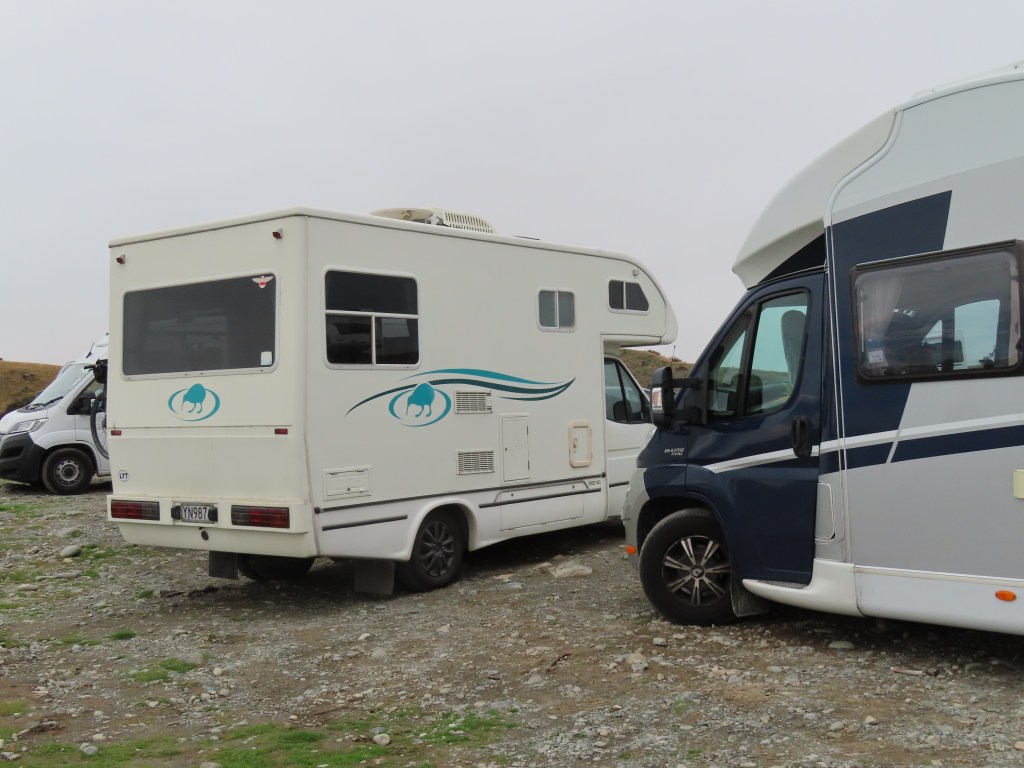
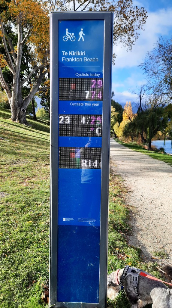
We normally avoid Queenstown as it is definitely NOT motorhome friendly, but this time we decided to stay at the Driftaway Camping Ground, in Frankton. This is a fairly new camp, and it was a delight to stay at. Here, we had the chance to catch up on laundry, and have some beautiful hot showers. It was only a short walk through the gate to the lakeside, with extensive walking/cycle tracks. We came across this automatic counter telling you how many cyclists had been this way today – nothing about walkers though.
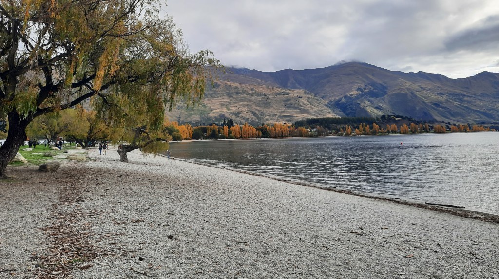
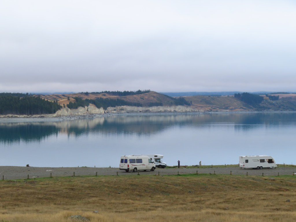
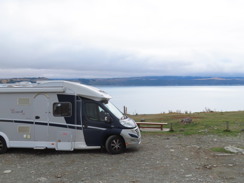
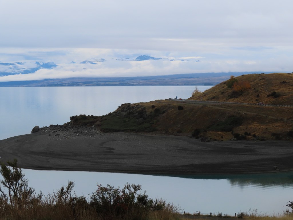
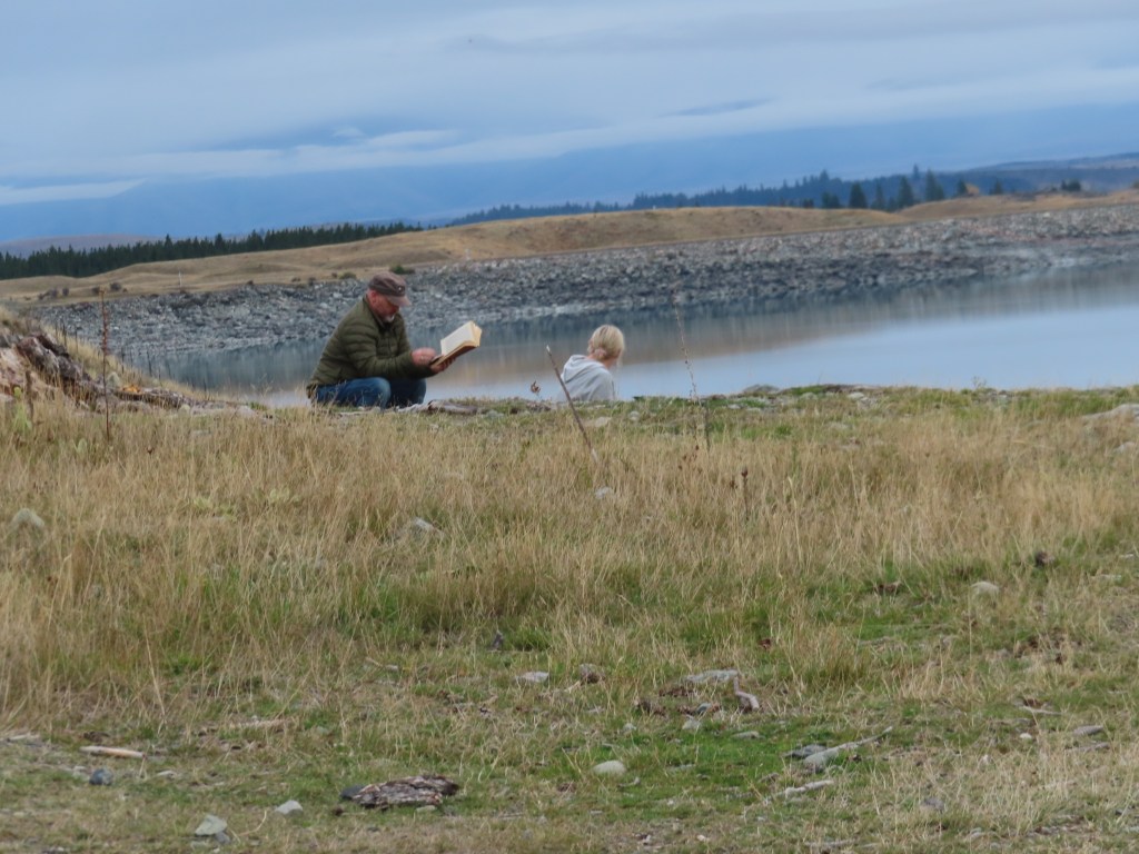
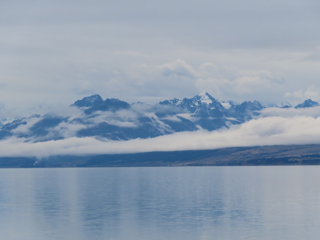
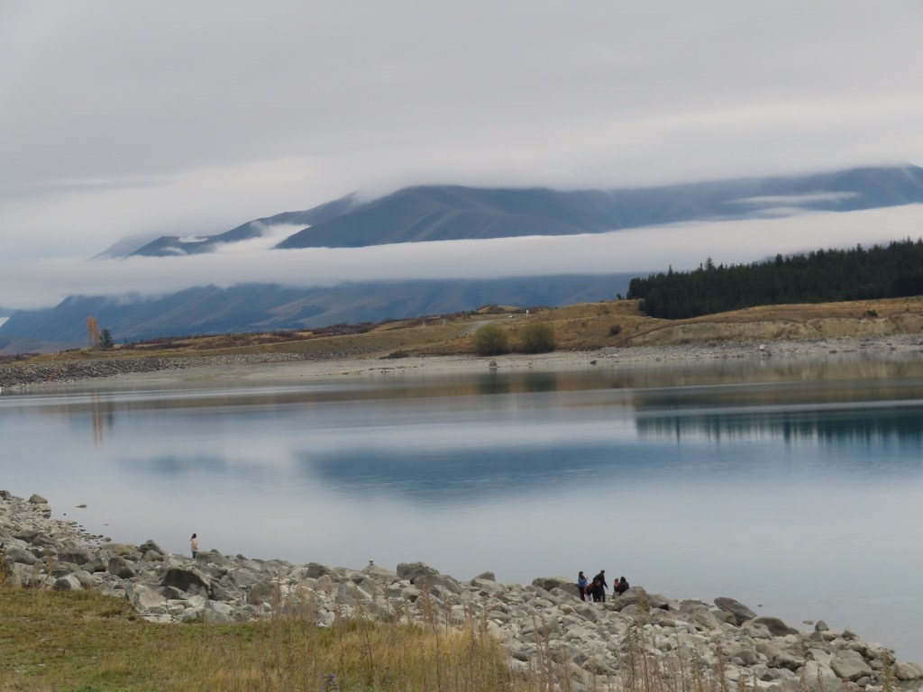
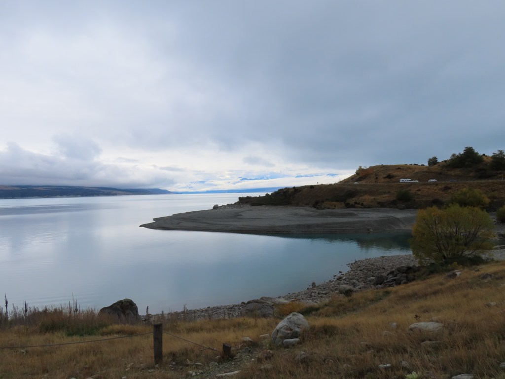
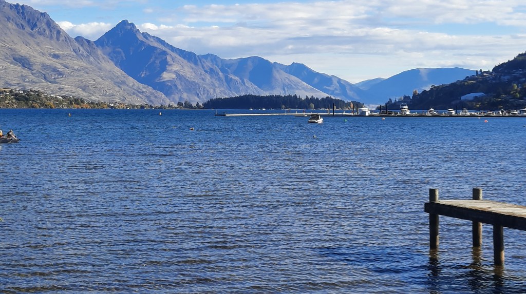
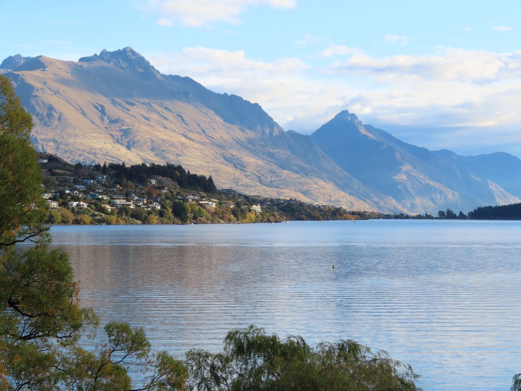
The scenery from our campsite was beautiful as well.
The camp had amazing facilities for keeping children entertained – ping pong, bouncy mat, a little slide, sandpit etc. Everything was spotless, and the barbeque area had views to die for. The camp was pretty popular and almost full (school holidays I guess).
The next day we took a taxi into the centre of Queenstown (at an exorbitant price), to meet our tour party for Skipper’s Canyon. The road to Skippers is reputed to be the most dangerous road in New Zealand, and our 4wd Jeep was being driven by a slip of a 21 year old girl. However, she quickly gained our confidence and she had been driving this road as a tour guide for the last 5 years.
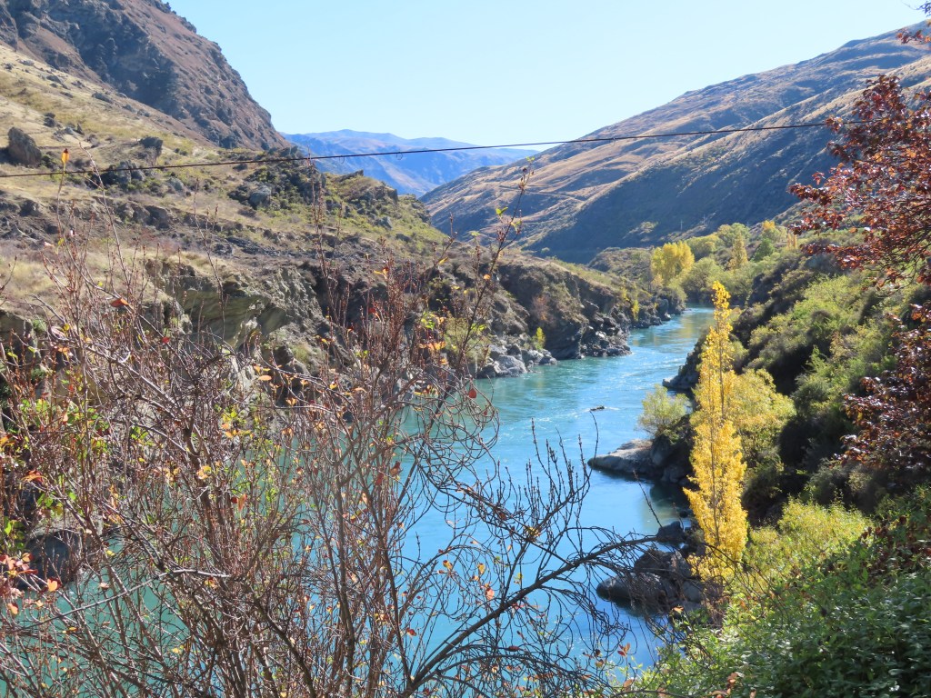
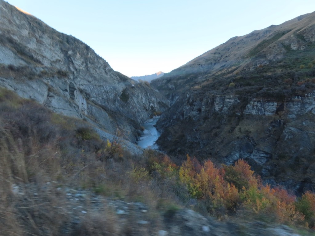
The tour follows the sides of the Shotover River. The road is a public road, but is not maintained by either Transit, or the local council, so it can be pretty rough in places. Ocassionally, one of the local tour companies will pay for a grader to come through. Although it is seen as a two lane road, there are not many places wide enough to pass if you came across a car coming the other way. This happened to us 3 times during the trip, and each time, our driver had to back up some distance to be able to let them pass.
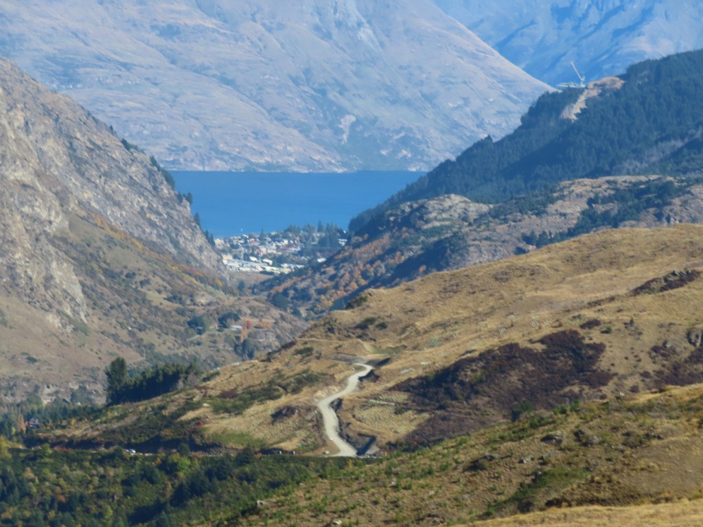
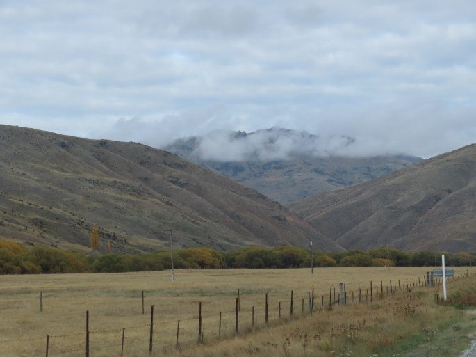
The countryside is very steep, with almost vertical drops down to the river on one side. The hillsides are predominantly of a slate type of rock which readily falls apart – so very unstable.
There are three permanent resident families in Skippers. One was a squatter who camped on a particular piece of land, continually for 20 years, until he, by law, then became the owner of that land. At that time he built himself a small, permanent house, and he still lives there now.
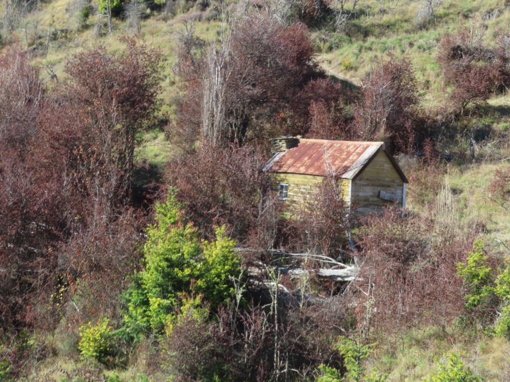
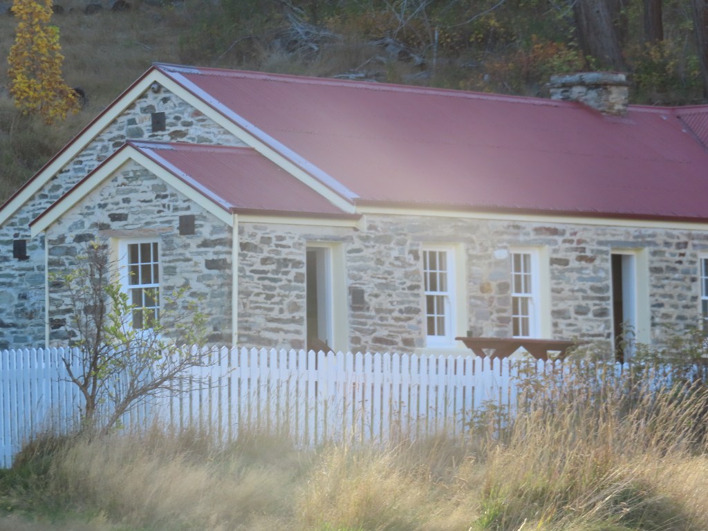
The house in the photo above was built as a meeting point, halfway into Skippers by a couple who lived further into Skippers but whose children refused to drive all that way to visit them. The halfway house was used for visits while they were alive, but is unused now.
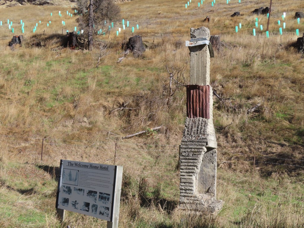
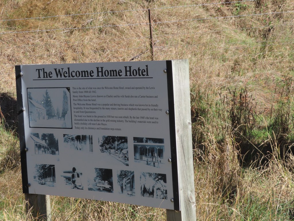
Along the road we also passed the ruins of a hotel, that used to serve the gold miners of the area. The story goes that that the couple who ran the hotel needed help, so they hired a young lady. Her employment lasted 5 days, when she was whisked away by one of the miners as his bride. This happened again and again to the ladies they hired to help, until in the end they advertised in Christchurch for the ugliest woman they could find to help them out. It was to no avail – 5 days later she ran off to be married to a miner.
The Shotover River was an important gold mining area, and that was what the road was originally built for. When panning for gold became less successful, miners resorted to water cannons to erode the hillsides to hopefully reveal more gold. As the result, the landscape was altered substantially, and remnants of their pipes etc are still visible.

The midway part of the tour was the old Skipper’s Canyon Schoolhouse, where we stopped for a coffee and a gingernut.
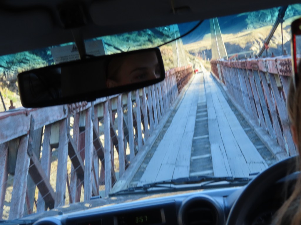
To get to it though, we had to cross the Skipper’s Canyon Bridge, which is only just wide enough for the jeep. Apparently several wing mirrors have been lost on this bridge.
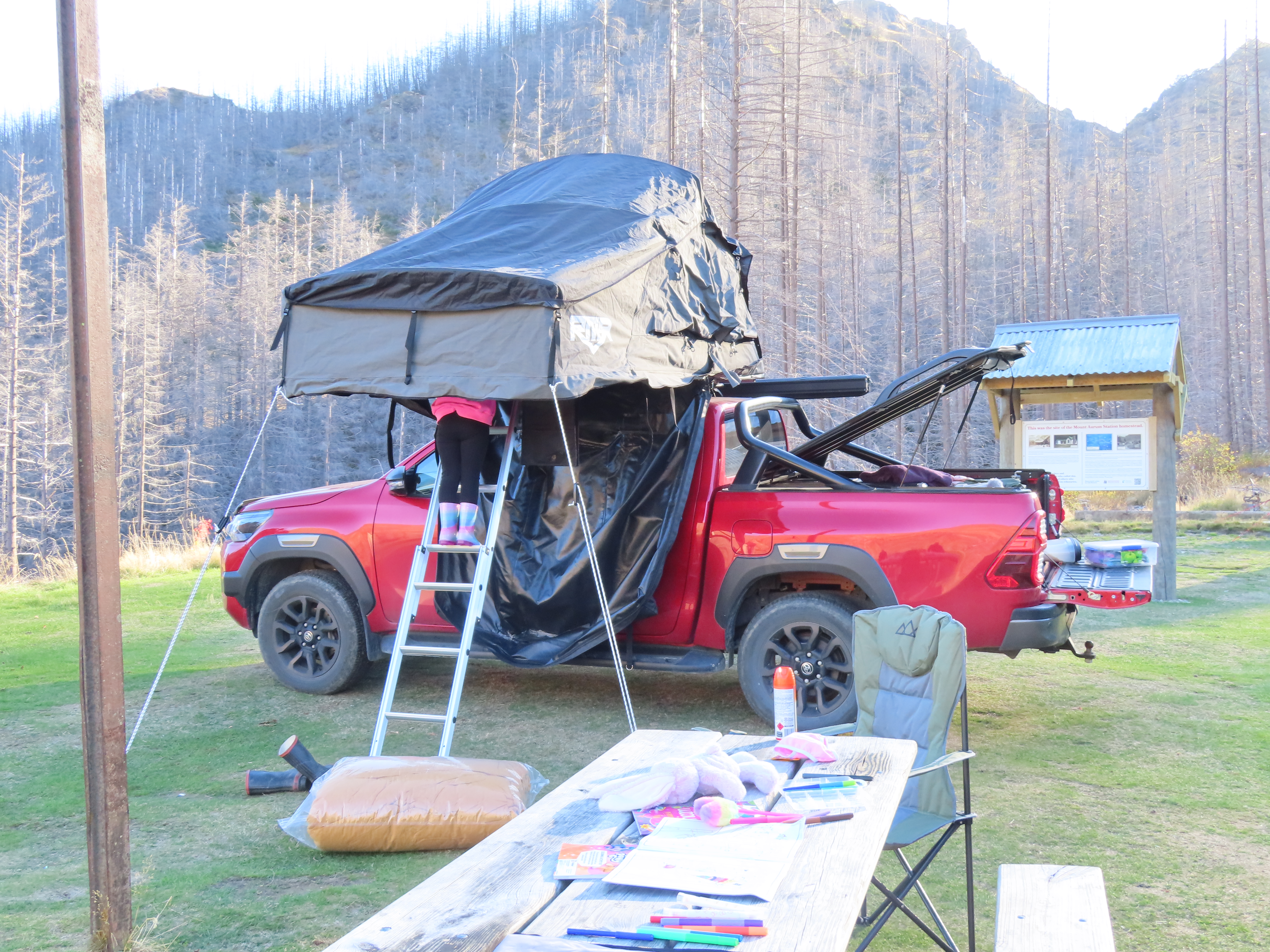
All this makes you realise what a hardy bunch our ancestors were. Maybe it was worth it – Skippers was once known as the richest goldmining area in the world! We were amazed that today, there were three families camping here for a few nights. Hope they don’t freeze to death.
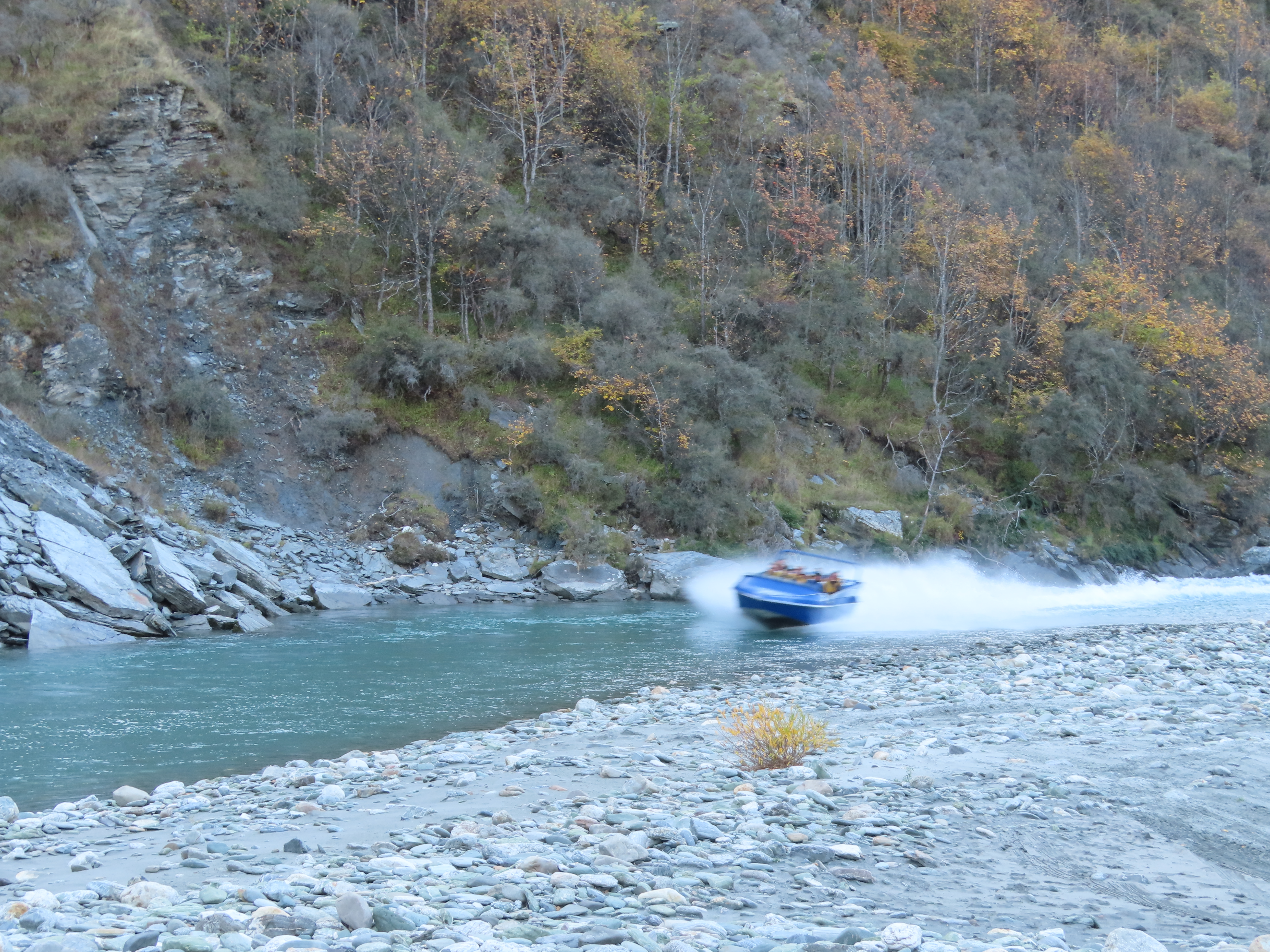
We made our way back, but stopped along the way to go down to the River where we had the opportunity to pan for gold. Our Guide demonstrated for us, and out of a spade full of sand from the river bed, all she got was one tiny speck of gold. The rest of us decided it wasn’t worth getting cold and wet for.

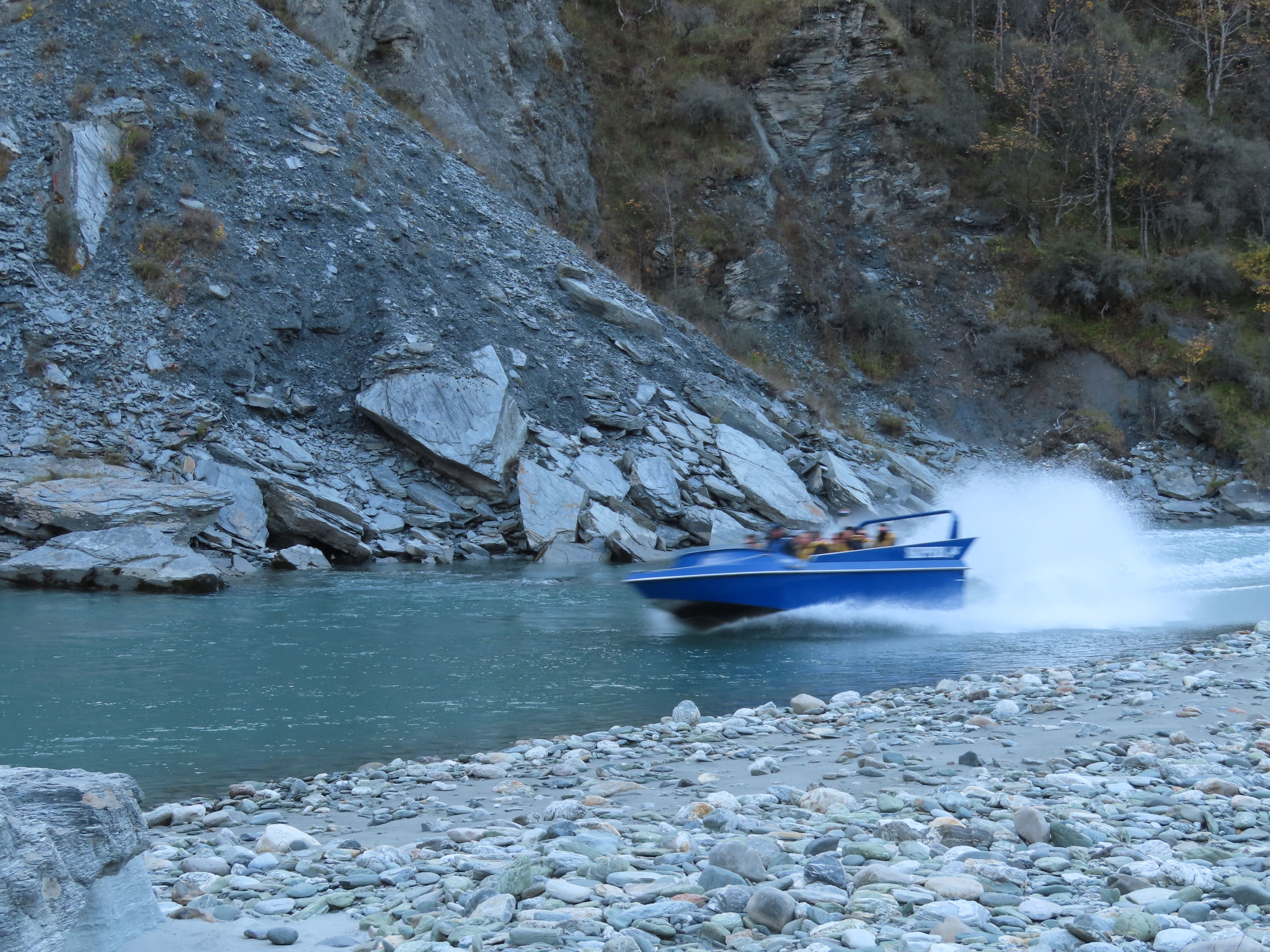
This was also the site for the Shotover Jet base. We hung around to watch it return.
Overall, it was an educational and interesting trip, but there was no way the motorhome would drive on that road! I seem to remember my Dad saying he took the bus over it but surely I misunderstood. I don’t see how a bus could get around those corners. Apparently, stock trucks don’t use it – all livestock has to be walked in or out.
Once back to Queenstown, Bruce and I were shaking our heads at the queue for Ferg’s Burgs. It was about 50m down the street when we left, and was still about the same when we came back! They must be really good burgers!
We will be sorry to leave tomorrow. The scenery has been wonderful, but I really want to see if I can visit Arrowtown in the autumn.